Box Canyon, canyon in Gunnison County, Colorado, United States geonames ID=5414745
Location: Gunnison County
Elevation above the sea: 2,644 m
GPS coordinates: 38.51249,-106.55253
Latest update: July 3, 2025 15:13

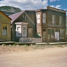
St. Elmo
28 km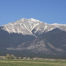
Mount Antero
32.2 km
Mount Harvard
50.1 km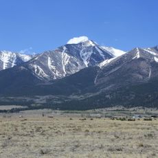
Mount Princeton
37.7 km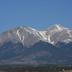
Mount Shavano
29.7 km
Huron Peak
49.2 km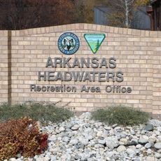
Arkansas Headwaters Recreation Area
48.8 km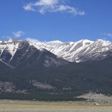
Mount Columbia
48.9 km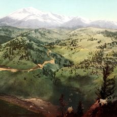
Mount Ouray
30.3 km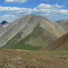
Tabeguache Peak
29.1 km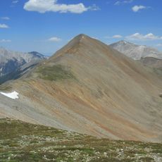
Cronin Peak
28.3 km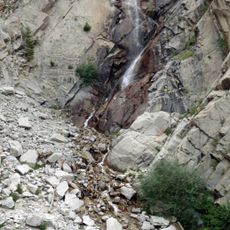
Agnes Vaille Falls
36.1 km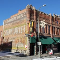
Manhattan Hotel
49.4 km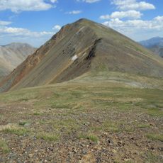
Carbonate Mountain
26.7 km
Emerald Peak
48.7 km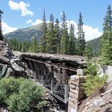
Morley Bridge
24.4 km
F Street Bridge
49 km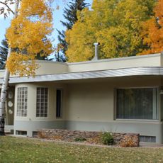
Heister House
48.3 km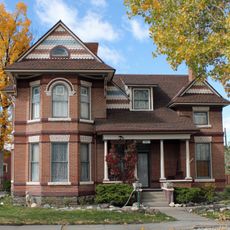
Alexander House
48.4 km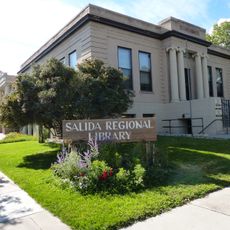
Salida Regional Library
48.8 km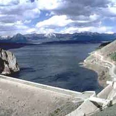
Taylor Park Reservoir
36 km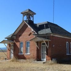
Gas Creek School
46.9 km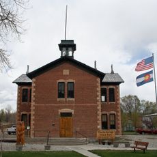
Poncha Springs Schoolhouse
41.9 km
Maysville School
31.7 km
Edgerton House
33.3 km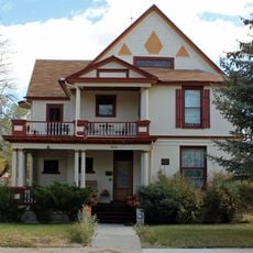
Bode-Stewart House
48.4 km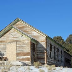
Valley View School
44.5 km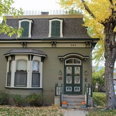
E.W. Corbin House
48.8 kmReviews
Visited this place? Tap the stars to rate it and share your experience / photos with the community! Try now! You can cancel it anytime.
Discover hidden gems everywhere you go!
From secret cafés to breathtaking viewpoints, skip the crowded tourist spots and find places that match your style. Our app makes it easy with voice search, smart filtering, route optimization, and insider tips from travelers worldwide. Download now for the complete mobile experience.

A unique approach to discovering new places❞
— Le Figaro
All the places worth exploring❞
— France Info
A tailor-made excursion in just a few clicks❞
— 20 Minutes