
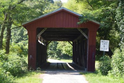
Byer Covered Bridge, covered bridge in Washington Township, Jackson County, Ohio
Location: Washington Township
GPS coordinates: 39.17958,-82.63140
Latest update: September 23, 2025 16:46
Hocking Hills State Park
29.1 km
Leo Petroglyph
4.9 km
Tar Hollow State Park
23.3 km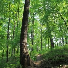
Zaleski State Forest
24 km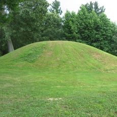
Zaleski Mound Group
23.7 km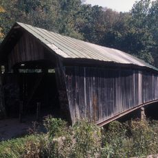
Ponn Humpback Covered Bridge
26.5 km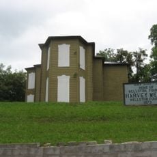
Harvey Wells House
10.7 km
Vinton Furnace State Experimental Forest
21.3 km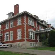
Morgan Mansion
10.5 km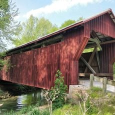
Johnson Road Covered Bridge
28.1 km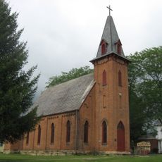
Trinity Episcopal Church
15.1 km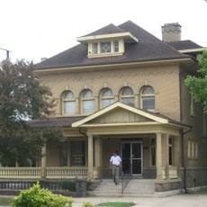
Clutts House
10.4 km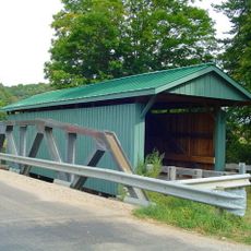
Mt. Olive Road Covered Bridge
12.4 km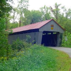
Eakin Mill Covered Bridge
25.4 km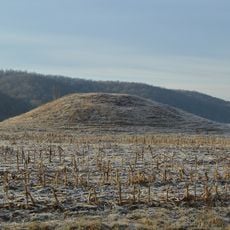
Ratcliffe Mound
16.5 km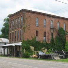
Masonic Lodge No. 472
23.5 km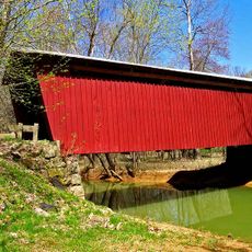
Buckeye Furnace Covered Bridge
20.4 km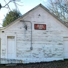
Scioto Grange No. 1234
21 km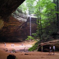
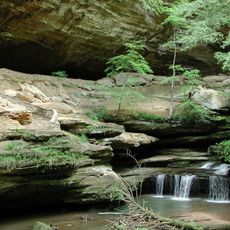
Ash Cave
25.6 km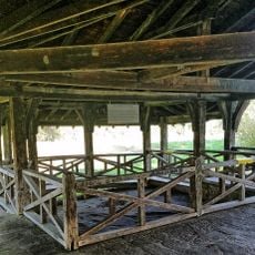
Leo petroglyph
5 km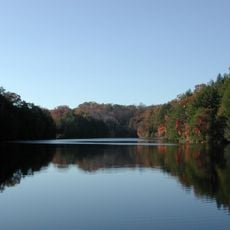
Lake Katharine State Nature Preserve
11.2 km
Scioto Trail State Park
28.1 km
Louvee Theatre
10.5 km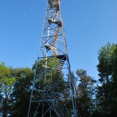
Ash Cave Fire Tower
26.6 km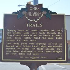
Trails
14.1 km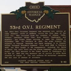
53rd O.V.I. Regiment
14.1 km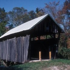
Cox Covered Bridge
25.4 km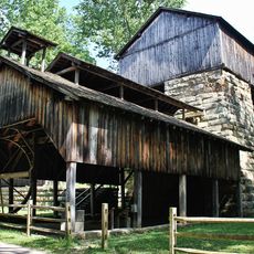
Buckeye Furnace
20.3 kmReviews
Visited this place? Tap the stars to rate it and share your experience / photos with the community! Try now! You can cancel it anytime.
Discover hidden gems everywhere you go!
From secret cafés to breathtaking viewpoints, skip the crowded tourist spots and find places that match your style. Our app makes it easy with voice search, smart filtering, route optimization, and insider tips from travelers worldwide. Download now for the complete mobile experience.

A unique approach to discovering new places❞
— Le Figaro
All the places worth exploring❞
— France Info
A tailor-made excursion in just a few clicks❞
— 20 Minutes