
Johnson Road Covered Bridge, covered bridge in Scioto Township, Jackson County, Ohio
Location: Scioto Township
Address: Johnson Road
GPS coordinates: 38.95862,-82.78766
Latest update: September 23, 2025 16:46

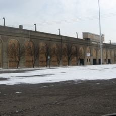
Spartan Municipal Stadium
30.5 km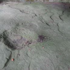
Leo Petroglyph
23.5 km
Sciotoville Bridge
24.4 km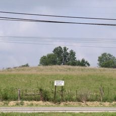
Tremper Mound and Works
26 km
Biggs Site
28 km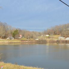
Jackson Lake State Park
17.4 km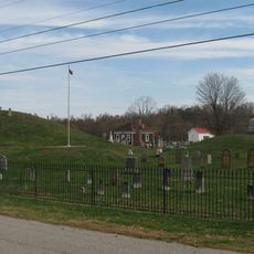
Piketon Mounds
22.5 km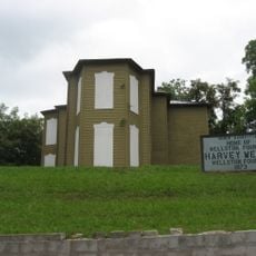
Harvey Wells House
28.9 km
Portsmouth Public Library
30.4 km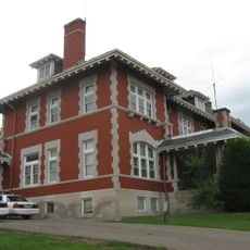
Morgan Mansion
28.7 km
Clutts House
28.6 km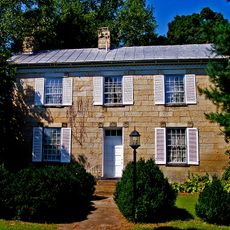
Vanmeter Stone House and Outbuildings
23 km
Byer Covered Bridge
28.1 km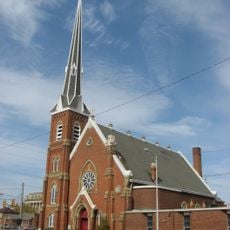
Evangelical Church of Christ
30.9 km
Bigelow United Methodist Church
31 km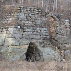
Olive Furnace
25.8 km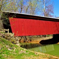
Buckeye Furnace Covered Bridge
30.4 km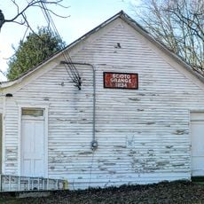
Scioto Grange No. 1234
7 km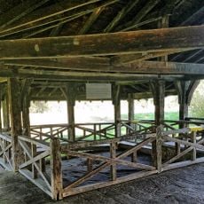
Leo petroglyph
23.5 km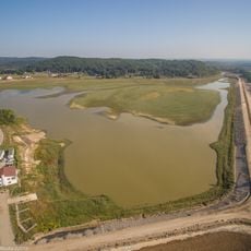
Lake White State Park
25.4 km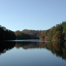
Lake Katharine State Nature Preserve
17.1 km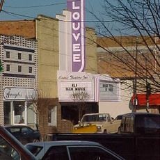
Louvee Theatre
28.5 km
Columbia Music Arena
30.8 km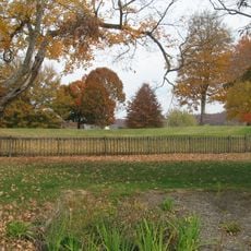
Horseshoe Mound
29.1 km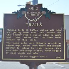
Trails
16.6 km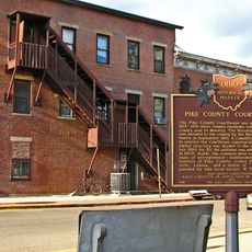
Pike County Courthouse
25.2 km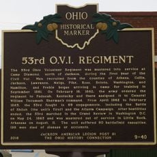
53rd O.V.I. Regiment
16.6 km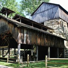
Buckeye Furnace
30.6 kmReviews
Visited this place? Tap the stars to rate it and share your experience / photos with the community! Try now! You can cancel it anytime.
Discover hidden gems everywhere you go!
From secret cafés to breathtaking viewpoints, skip the crowded tourist spots and find places that match your style. Our app makes it easy with voice search, smart filtering, route optimization, and insider tips from travelers worldwide. Download now for the complete mobile experience.

A unique approach to discovering new places❞
— Le Figaro
All the places worth exploring❞
— France Info
A tailor-made excursion in just a few clicks❞
— 20 Minutes