Chest opened
+${chestReward.xp} XP
Explorer
NOUVEAU ×${chestReward.collectible.quantity}
tapez pour fermer

See the monuments around you in AR Open chests in the app

Around Us is built for your phone — point your camera at the streets and discover the monuments and places around you in augmented reality. Around Us is built for your phone — chests unlock when you walk, explore and capture nearby places.

Enable Location

We need your location to show you interesting places around you

Discover nearby places

Find interesting locations and hidden gems around you

Precise directions

Get accurate directions and distances to places

Your location is never shared with other users. It's only used when you tap the location button.

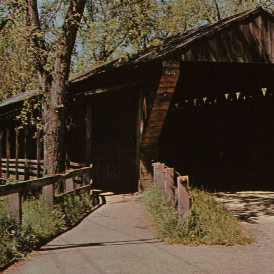
Newton Falls Covered Bridge

Log in to your account

Start exploring — it's free

Trusted by 87,004 travelers worldwide

Continue with Google
Continue with Apple
or

We will send you a code to connect

By continuing, you accept our Terms and Conditions and our Privacy Policy

Check your inbox

We've sent a pincode in your inbox. Please enter the code below.

Discussion Reviews 2 Photos
1.3k Popularity

Newton Falls Covered Bridge, Covered bridge in Newton Falls, US

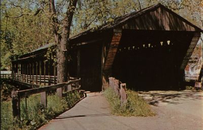
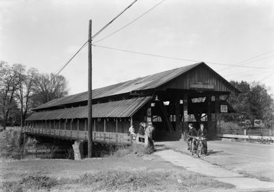
Newton Falls Covered Bridge is a wooden structure that crosses the East Branch of the Mahoning River using a lattice truss design that has proven effective for over a century. The bridge accommodates vehicle traffic on its main span and includes a separate covered walkway running alongside it.

The structure was built in 1831 to replace an earlier log bridge at the same location. Recognition came in 1974 when it was added to the National Register of Historic Places for its engineering and design accomplishments.

The bridge represents one of five covered bridges constructed in Newton Township during the nineteenth century, reflecting early American transportation infrastructure development.

The bridge remains open to vehicle traffic while the covered walkway allows visitors to cross on foot without exposure to weather. Both paths can be used simultaneously without conflict.

This bridge stands as the second-oldest existing covered bridge in Ohio and remains the only one in the state featuring a covered pedestrian walkway.

The community of curious travelers

AroundUs brings together thousands of curated places, local tips, and hidden gems, enriched daily by 60,000 contributors worldwide.
Start exploring
Location
Inception
1856
GPS coordinates
41.18669,-80.97239
Latest update
September 12, 2026 10:07
Around this place
West Branch State Park
United States of America

West Branch State Park

7.7 mi
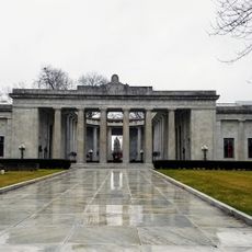
National McKinley Birthplace Memorial
United States of America

National McKinley Birthplace Memorial

10.7 mi
Nelson Kennedy Ledges State Park
United States of America

Nelson Kennedy Ledges State Park

10.4 mi
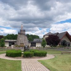
Basilica and National Shrine of Our Lady of Lebanon
United States of America

Basilica and National Shrine of Our Lady of Lebanon

8.8 mi
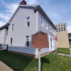
McKinley Birthplace Home and Research Center
United States of America

McKinley Birthplace Home and Research Center

10.8 mi
Lake Milton State Park
United States of America

Lake Milton State Park

6.1 mi
Judge William Shaw Anderson House
United States of America

Judge William Shaw Anderson House

10.4 mi
Harriet Taylor Upton House
United States of America

Harriet Taylor Upton House

8.6 mi
Freedom Congregational Church
United States of America

Freedom Congregational Church

9.7 mi
Hiram College Library
United States of America

Hiram College Library

12.4 mi
Niles Masonic Temple
United States of America

Niles Masonic Temple

10.7 mi
Idora Park Experience
United States of America

Idora Park Experience

12.9 mi
Old Stagecoach Inn
United States of America

Old Stagecoach Inn

7.3 mi
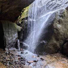
Cascade Falls
United States of America

Cascade Falls

10.5 mi
Minnehaha Falls
United States of America

Minnehaha Falls

10.2 mi
United States of America

Dog Beach

9.4 mi
United States of America

World's Largest Drumsticks

8.7 mi
United States of America

Dave Grohl Sculpture

8.7 mi
United States of America

Gemini 8 - Titian II rocketmodel

7.6 mi
United States of America

Apollo Lander

7.6 mi
United States of America

Saturn 5 Model

7.6 mi
United States of America

Statue

10.7 mi
United States of America

Scenic viewpoint

11.9 mi
United States of America

Kuchta Farms 10+ Acre Corn Maze

3.3 mi
United States of America

Johnson Home

12.7 mi
United States of America

Waterfall

9.4 mi
United States of America

Waterfall

9.3 mi
United States of America

M42 Duster

11.7 mi
Show the full map
Reviews
Share your experience

No review yet

Discussions
Start a discussion...

No discussion yet

« Newton Falls Covered Bridge - Covered bridge in Newton Falls, US » is provided by Around Us (aroundus.com). Images and texts are derived from Wikimedia project under a Creative Commons license. You are allowed to copy, distribute, and modify copies of this page, under the conditions set by the license, as long as this note is clearly visible.

Discover hidden gems everywhere you go!

From secret cafés to breathtaking viewpoints, skip the crowded tourist spots and find places that match your style. Our app makes it easy with voice search, smart filtering, route optimization, and insider tips from travelers worldwide. Download now for the complete mobile experience.

Around Us App Screenshot

A unique approach to discovering new places

Le Figaro

All the places worth exploring

France Info

A tailor-made excursion in just a few clicks

20 Minutes

Around Us
Travel Guide & Maps
Download

Send to your phone

QR Code
1

Open the camera app on your mobile.

2

Point at the QR code with your camera. A notification will appear.

3

Tap the notification to open the link.