
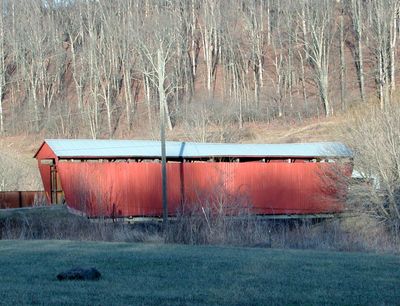
Palos Covered Bridge
Location: Trimble Township
Inception: 1876
GPS coordinates: 39.52528,-82.07194
Latest update: September 23, 2025 16:46
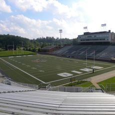
Peden Stadium
22.9 km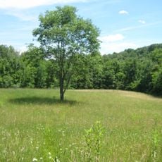
Burr Oak State Park
4.2 km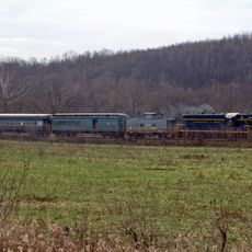
Hocking Valley Scenic Railway Historic District
15.7 km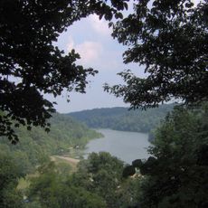
Strouds Run State Park
21 km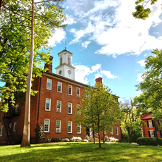
Manasseh Cutler Hall
22.3 km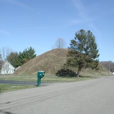
Wolf Plains
17.3 km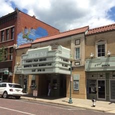
Athena Cinema
22.1 km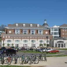
John Calhoun Baker University Center
22.5 km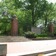
College Green of Ohio University
22.3 km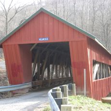
Helmick Mill Covered Bridge
24.3 km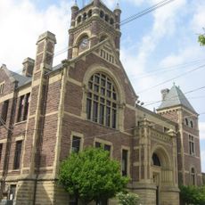
Perry County Courthouse
24 km
Stuart's Opera House
15.5 km
Athens Governmental Buildings
22.3 km
Athens State Hospital Cow Barn
23.8 km
Adams Covered Bridge
11.5 km
Athens Downtown Historic District
21.9 km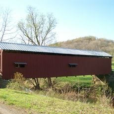
Shinn Covered Bridge
27.6 km
Strouds Ridge Preserve
20.1 km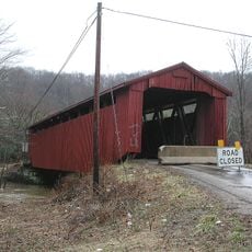
Kidwell Covered Bridge
8.2 km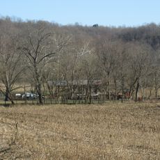
Barkhurst Mill Covered Bridge
20.6 km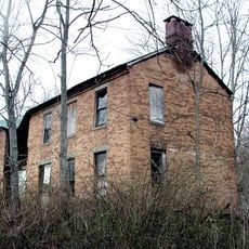
Savage-Stewart House
25.2 km
West School
27.5 km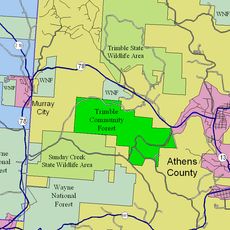
Trimble Township Community Forest
3.9 km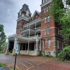
Kennedy Museum of Art
23.1 km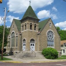
Mount Zion Baptist Church
21.6 km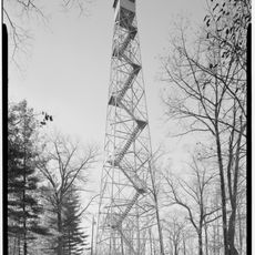
Shawnee Lookout Tower
13.6 km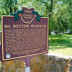
Big Bottom Massacre
25.6 km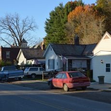
Haydenville Historic Town
22.5 kmReviews
Visited this place? Tap the stars to rate it and share your experience / photos with the community! Try now! You can cancel it anytime.
Discover hidden gems everywhere you go!
From secret cafés to breathtaking viewpoints, skip the crowded tourist spots and find places that match your style. Our app makes it easy with voice search, smart filtering, route optimization, and insider tips from travelers worldwide. Download now for the complete mobile experience.

A unique approach to discovering new places❞
— Le Figaro
All the places worth exploring❞
— France Info
A tailor-made excursion in just a few clicks❞
— 20 Minutes