
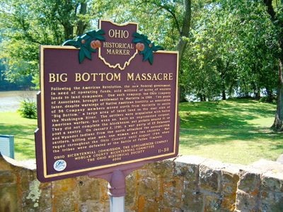
Big Bottom Massacre, Ohio historical marker 11-58
Location: Morgan County
Part of: Remarkable Ohio
GPS coordinates: 39.53354,-81.77399
Latest update: March 8, 2025 00:23

Big Muskie
18.8 km
Burr Oak State Park
22.1 km
Rufus Putnam House
29.6 km
Campus Martius Museum
29.6 km
Ohio Company Land Office
29.6 km
Watertown, Ohio
14.3 km
Colonel Joseph Barker House
25.1 km
Helmick Mill Covered Bridge
25.3 km
Harra Covered Bridge
12 km
Simeon Deming House
14.9 km
Adams Covered Bridge
24.4 km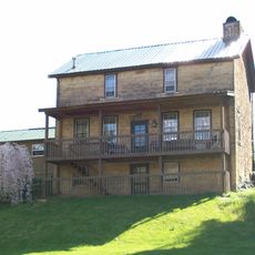
Jonathan Sprague House
17.7 km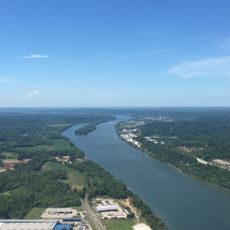
Muskingum Island
29.5 km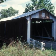
Bell Covered Bridge
14.2 km
Shinn Covered Bridge
8 km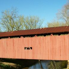
Root Covered Bridge
21.3 km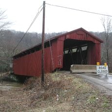
Kidwell Covered Bridge
29.6 km
Barkhurst Mill Covered Bridge
6.2 km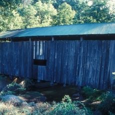
Henry Covered Bridge
16.8 km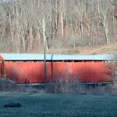
Palos Covered Bridge
25.6 km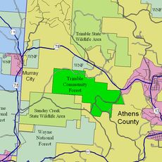
Trimble Township Community Forest
29.5 km
Ohio River Museum
29.5 km
Mason House
16.6 km
Marietta Branch Library
29.8 km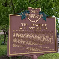
The Towboat W. P. Snyder Jr.
29.5 km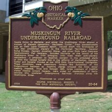
Muskingum River Underground Railroad
29.6 km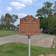
The Devola Lock
25.3 km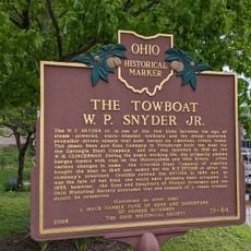
The Towboat of W.P. Snyder Jr.
29.5 kmReviews
Visited this place? Tap the stars to rate it and share your experience / photos with the community! Try now! You can cancel it anytime.
Discover hidden gems everywhere you go!
From secret cafés to breathtaking viewpoints, skip the crowded tourist spots and find places that match your style. Our app makes it easy with voice search, smart filtering, route optimization, and insider tips from travelers worldwide. Download now for the complete mobile experience.

A unique approach to discovering new places❞
— Le Figaro
All the places worth exploring❞
— France Info
A tailor-made excursion in just a few clicks❞
— 20 Minutes