Enable Location

We need your location to show you interesting places around you

Discover nearby places

Find interesting locations and hidden gems around you

Precise directions

Get accurate directions and distances to places

Your location is never shared with other users. It's only used when you tap the location button.

Morgan County

Log in to your account

Start exploring — it's free

Trusted by 63,531 travelers worldwide

Continue with Google
Continue with Apple
or

We will send you a code to connect

By continuing, you accept our Terms and Conditions and our Privacy Policy

Check your inbox

We've sent a pincode in your inbox. Please enter the code below.

Discussion Reviews 1 Photos
15.6k Popularity

Morgan County, Administrative division in southeastern Ohio, US

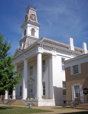
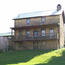
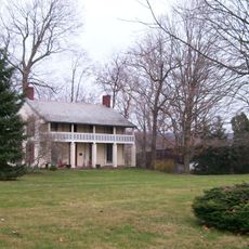
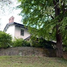
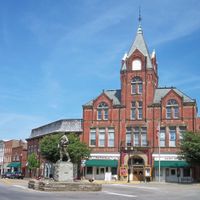
Morgan County is an administrative division in southeastern Ohio that includes forests, parks, and farming land spread across its territory. McConnelsville serves as the county seat and its main administrative hub.

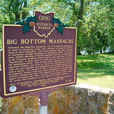
The county was established in 1817 and named after Daniel Morgan, a general from the American Revolutionary War. This naming choice honored a significant military leader from the nation's founding era.

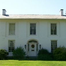
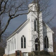
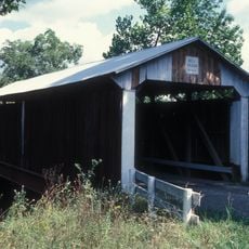
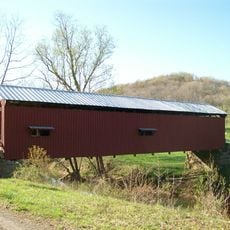
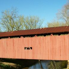
Residents here maintain connections through community gatherings and local celebrations that reflect the area's farming heritage and small-town values.

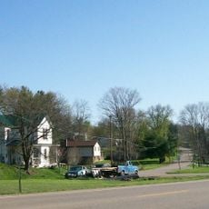
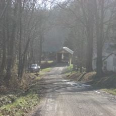
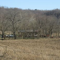
The area is sparsely populated with scattered communities, so it helps to plan ahead and know where services and attractions are located. Traveling by car is the practical choice for getting around and exploring different parts.

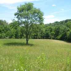
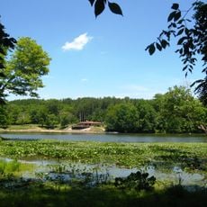
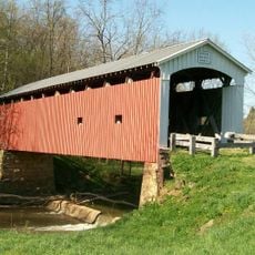
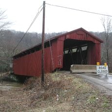
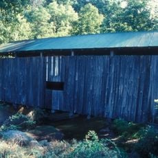
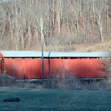
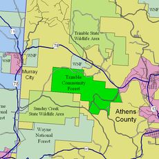
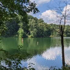
Sections of Wayne National Forest and Burr Oak State Park lie within its boundaries, offering protected natural space. These areas draw hikers and nature lovers looking to walk through forest trails and see the landscape.

The community of curious travelers

AroundUs brings together thousands of curated places, local tips, and hidden gems, enriched daily by 60,000 contributors worldwide.

Start exploring
Location
Inception
December 29, 1817
Capital city
McConnelsville
Shares border with
Muskingum County, Noble County, Washington County, Athens County, Perry County
GPS coordinates
39.61000,-81.85000
Latest update
December 7, 2025 19:29
Around this place
Big Muskie
United States of America

Big Muskie

14.2 km
Cincinnati Zoo and Botanical Garden
United States of America

Cincinnati Zoo and Botanical Garden

234.5 km
The Wilds
United States of America

The Wilds

26.4 km
Burr Oak State Park
United States of America

Burr Oak State Park

17.1 km
Blue Rock State Park
United States of America

Blue Rock State Park

22.9 km
Watertown, Ohio
United States of America

Watertown, Ohio

24.6 km
Colonel Joseph Barker House
United States of America

Colonel Joseph Barker House

33.9 km
Helmick Mill Covered Bridge
United States of America

Helmick Mill Covered Bridge

14.5 km
Harra Covered Bridge
United States of America

Harra Covered Bridge

22 km
St. John's Evangelical Lutheran Church
United States of America

St. John's Evangelical Lutheran Church

27.5 km
Noble County Courthouse
United States of America

Noble County Courthouse

32.3 km
Simeon Deming House
United States of America

Simeon Deming House

24.6 km
Adams Covered Bridge
United States of America

Adams Covered Bridge

15.8 km
Jonathan Sprague House
United States of America

Jonathan Sprague House

24.6 km
Bell Covered Bridge
United States of America

Bell Covered Bridge

24.9 km
Shinn Covered Bridge
United States of America

Shinn Covered Bridge

18.1 km
Root Covered Bridge
United States of America

Root Covered Bridge

30.9 km
Samuel Caldwell House
United States of America

Samuel Caldwell House

32.5 km
Barkhurst Mill Covered Bridge
United States of America

Barkhurst Mill Covered Bridge

12 km
Kidwell Covered Bridge
United States of America

Kidwell Covered Bridge

27.7 km
Henry Covered Bridge
United States of America

Henry Covered Bridge

25.8 km
Palos Covered Bridge
United States of America

Palos Covered Bridge

21.3 km
West School
United States of America

West School

28.1 km
Trimble Township Community Forest
United States of America

Trimble Township Community Forest

24.7 km
Mason House
United States of America

Mason House

23.3 km
Mound House
United States of America

Mound House

30.5 km
Big Bottom Massacre
United States of America

Big Bottom Massacre

10.7 km
Wolf Run Lake
United States of America

Wolf Run Lake

33.5 km
Show the full map
Reviews
Share your experience

No review yet

Discussions
Start a discussion...

No discussion yet

Administrative divisions
« Morgan County - Administrative division in southeastern Ohio, US » is provided by Around Us (aroundus.com). Images and texts are derived from Wikimedia project under a Creative Commons license. You are allowed to copy, distribute, and modify copies of this page, under the conditions set by the license, as long as this note is clearly visible.

Discover hidden gems everywhere you go!

From secret cafés to breathtaking viewpoints, skip the crowded tourist spots and find places that match your style. Our app makes it easy with voice search, smart filtering, route optimization, and insider tips from travelers worldwide. Download now for the complete mobile experience.

Around Us App Screenshot

A unique approach to discovering new places

Le Figaro

All the places worth exploring

France Info

A tailor-made excursion in just a few clicks

20 Minutes

Around Us
Travel Guide & Maps
Download

Send to your phone

QR Code
1

Open the camera app on your mobile.

2

Point at the QR code with your camera. A notification will appear.

3

Tap the notification to open the link.