
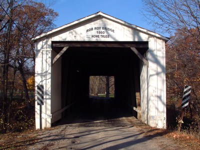
Rob Roy Covered Bridge, covered bridge in Fountain County, Indiana, USA
Location: Fountain County
Inception: 1860
GPS coordinates: 40.24372,-87.24599
Latest update: September 23, 2025 16:47
Fort Ouiatenon
30 km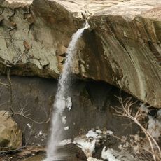
Williamsport Falls
6.2 km
Portland Arch Nature Preserve
8.1 km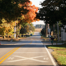
Glen Hall, Indiana
21.3 km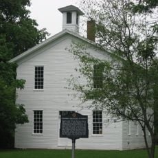
Farmers Institute
23.3 km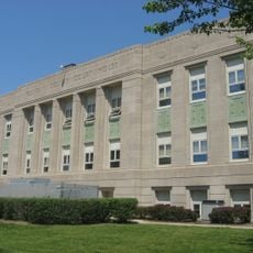
Fountain County Courthouse
17.5 km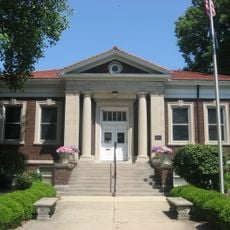
Carnegie Library of Covington
17.1 km
Williamsport-Washington Township Public Library
6.4 km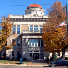
Warren County Courthouse
6.4 km
Attica Downtown Historic District
5.6 km
Attica Main Street Historic District
5.4 km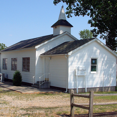
Williams Chapel
20.5 km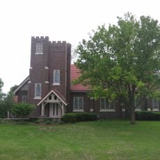
Stidham United Methodist Church
28.3 km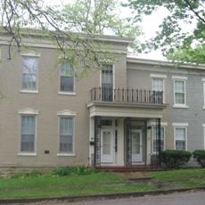
Marshall M. Milford House
5.4 km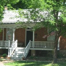
Fountain County Clerk's Building
17.3 km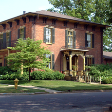
Brady Street Historic District
5.2 km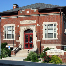
West Lebanon-Pike Township Public Library
12.4 km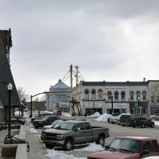
Covington Courthouse Square Historic District
17.5 km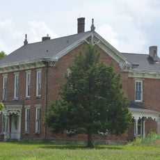
Van Reed Farmstead
19 km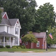
Covington Residential Historic District
17.2 km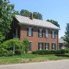
William C.B. Sewell House
17.3 km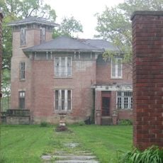
Kent and Hitchens Houses
5.6 km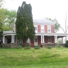
Andrew Brier House
15.5 km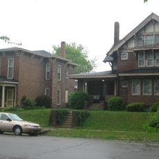
Old East Historic District
5.2 km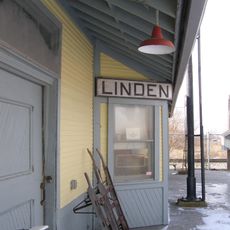
Linden Depot
29.6 km
Linden Depot Museum
29.6 km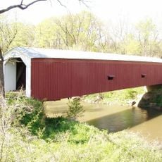
Cades Mill Bridge
20.8 km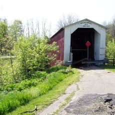
Wallace Covered Bridge
30.1 kmReviews
Visited this place? Tap the stars to rate it and share your experience / photos with the community! Try now! You can cancel it anytime.
Discover hidden gems everywhere you go!
From secret cafés to breathtaking viewpoints, skip the crowded tourist spots and find places that match your style. Our app makes it easy with voice search, smart filtering, route optimization, and insider tips from travelers worldwide. Download now for the complete mobile experience.

A unique approach to discovering new places❞
— Le Figaro
All the places worth exploring❞
— France Info
A tailor-made excursion in just a few clicks❞
— 20 Minutes