Chest opened
+${chestReward.xp} XP
Explorer
NOUVEAU ×${chestReward.collectible.quantity}
tapez pour fermer

See the monuments around you in AR Open chests in the app

Around Us is built for your phone — point your camera at the streets and discover the monuments and places around you in augmented reality. Around Us is built for your phone — chests unlock when you walk, explore and capture nearby places.

Enable Location

We need your location to show you interesting places around you

Discover nearby places

Find interesting locations and hidden gems around you

Precise directions

Get accurate directions and distances to places

Your location is never shared with other users. It's only used when you tap the location button.

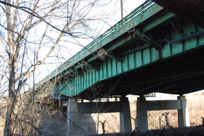
Pawtucket River Bridge

Log in to your account

Start exploring — it's free

Trusted by 84,950 travelers worldwide

Continue with Google
Continue with Apple
or

We will send you a code to connect

By continuing, you accept our Terms and Conditions and our Privacy Policy

Check your inbox

We've sent a pincode in your inbox. Please enter the code below.

Pawtucket River Bridge
Discussion Reviews 1 Photos
1.5k Popularity

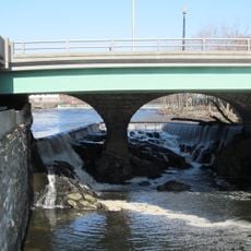
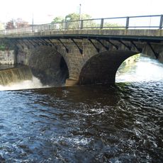
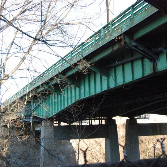
Pawtucket River Bridge, Highway bridge in Pawtucket, United States.

The Pawtucket River Bridge is a highway crossing spanning the Seekonk River with six lanes carrying Interstate 95 traffic through Rhode Island. It connects the region and serves as a major route for vehicles traveling through the urban area.

The original structure was built in 1958 and underwent a major replacement completed in 2013 following a structural assessment in 2007. The renewal project modernized the infrastructure to meet current traffic demands.

The bridge received its current name in 2016 to honor James E. Doyle, the former mayor of Pawtucket who influenced local development.

The bridge has strict weight restrictions for trucks to maintain structural integrity. Drivers should be aware of these limitations as state enforcement monitors compliance regularly.

The replacement project, completed at a cost of 82 million dollars, involved building three separate spans while maintaining traffic flow.

The community of curious travelers

AroundUs brings together thousands of curated places, local tips, and hidden gems, enriched daily by 60,000 contributors worldwide.
Start exploring
Location
GPS coordinates
41.87336,-71.38440
Latest update
August 30, 2026 23:29
Around this place
Blackstone River Valley National Historical Park
United States of America

Blackstone River Valley National Historical Park

0.3 mi
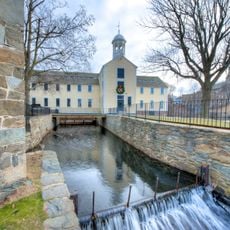
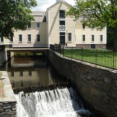
Slater Mill Historic Site
United States of America

Slater Mill Historic Site

0.3 mi
Sandra Feinstein-Gamm Theatre
United States of America

Sandra Feinstein-Gamm Theatre

0.5 mi
Pawtucket Falls
United States of America

Pawtucket Falls

0.3 mi
Pawtucket City Hall
United States of America

Pawtucket City Hall

0.4 mi
Collyer Monument
United States of America

Collyer Monument

0.4 mi
Division Street Bridge
United States of America

Division Street Bridge

450 ft
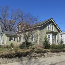
Charles Payne House
United States of America

Charles Payne House

0.4 mi
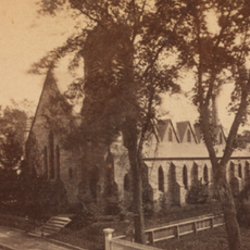
Trinity Church
United States of America

Trinity Church

0.2 mi
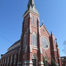
St. Mary's Church of the Immaculate Conception Complex
United States of America

St. Mary's Church of the Immaculate Conception Complex

0.3 mi
Quality Hill Historic District
United States of America

Quality Hill Historic District

0.5 mi
Liberty Arming the Patriot
United States of America

Liberty Arming the Patriot

0.3 mi
Pawtucket Times Building
United States of America

Pawtucket Times Building

0.4 mi
Gately Building
United States of America

Gately Building

0.4 mi
Fifth Ward Wardroom
United States of America

Fifth Ward Wardroom

0.5 mi
Main Street Bridge
United States of America

Main Street Bridge

0.2 mi
Potter-Collyer House
United States of America

Potter-Collyer House

0.3 mi
Pawtucket Post Office
United States of America

Pawtucket Post Office

0.3 mi
Pitcher-Goff House
United States of America

Pitcher-Goff House

0.3 mi
Church Hill Industrial District
United States of America

Church Hill Industrial District

0.3 mi
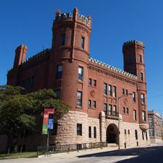
Pawtucket Elks Lodge Building
United States of America

Pawtucket Elks Lodge Building

0.4 mi
Childs-Brown House
United States of America

Childs-Brown House

0.4 mi
Lorenzo Crandall House
United States of America

Lorenzo Crandall House

0.6 mi
South Street Historic District
United States of America

South Street Historic District

0.3 mi
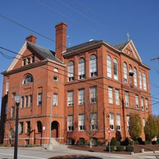
Church Hill Grammar School
United States of America

Church Hill Grammar School

0.3 mi
Nathaniel Montgomery House
United States of America

Nathaniel Montgomery House

0.5 mi
Exchange Street Historic District
United States of America

Exchange Street Historic District

0.5 mi
Joseph Spaulding House
United States of America

Joseph Spaulding House

0.2 mi
Show the full map
Reviews
Share your experience

No review yet

Discussions
Start a discussion...

No discussion yet

« Pawtucket River Bridge - Highway bridge in Pawtucket, United States » is provided by Around Us (aroundus.com). Images and texts are derived from Wikimedia project under a Creative Commons license. You are allowed to copy, distribute, and modify copies of this page, under the conditions set by the license, as long as this note is clearly visible.

Discover hidden gems everywhere you go!

From secret cafés to breathtaking viewpoints, skip the crowded tourist spots and find places that match your style. Our app makes it easy with voice search, smart filtering, route optimization, and insider tips from travelers worldwide. Download now for the complete mobile experience.
Around Us App Screenshot

A unique approach to discovering new places

Le Figaro

All the places worth exploring

France Info

A tailor-made excursion in just a few clicks

20 Minutes

Around Us
Travel Guide & Maps
Download

Send to your phone

QR Code
1

Open the camera app on your mobile.

2

Point at the QR code with your camera. A notification will appear.

3

Tap the notification to open the link.