
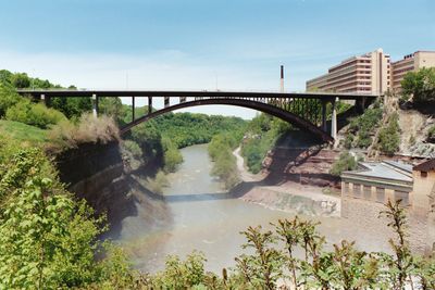
Driving Park Bridge
Location: Rochester
Inception: 1987
GPS coordinates: 43.18104,-77.62819
Latest update: September 23, 2025 16:56
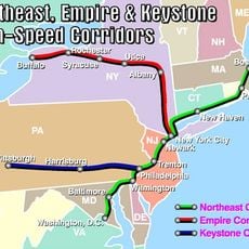
Empire Corridor
2.6 km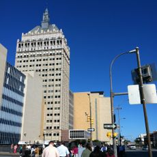
Kodak Tower
2.4 km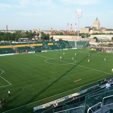
Marina Auto Stadium
2.1 km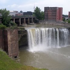
High Falls
2.5 km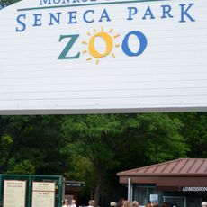
Seneca Park Zoo
2.9 km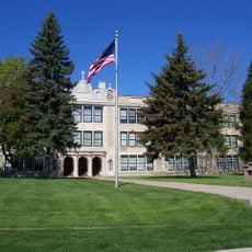
Aquinas Institute
1.2 km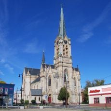
Saint Michael's Church
1.4 km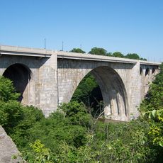
Veterans Memorial Bridge
1.4 km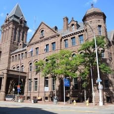
Rochester City Hall
2.9 km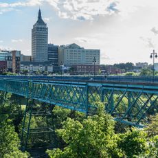
Pont de Rennes
2.3 km
Brown's Race Historic District
2.5 km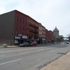
State Street Historic District
2.8 km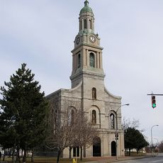
St. Joseph's Church and Rectory
3 km
Saint George Roman Catholic Lithuanian Church
2.4 km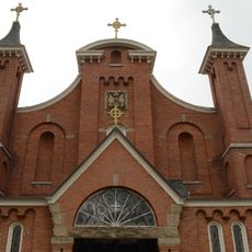
Our Lady of Victory Roman Catholic Church
2.9 km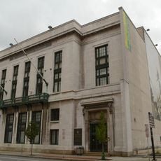
Chamber of Commerce
3 km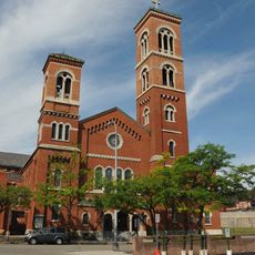
Brick Presbyterian Church Complex
2.8 km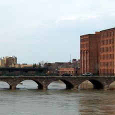
Andrews Street Bridge
2.8 km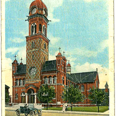
St. Stanislaus' Church
2.4 km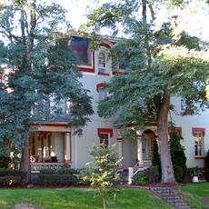
Vanderbeck House
1 km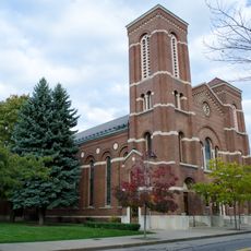
German United Evangelical Church Complex
2.7 km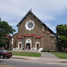
Holy Rosary Church Complex
1.1 km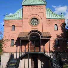
Leopold Street Shule
2.6 km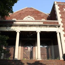
Congregation Ahavas Achim Anshi Austria
1.6 km
Washington Street Rowhouses
2.9 km
Jewish Young Men's and Women's Association
3 km
Teoronto Block Historic District
2.2 km
Maplewood Park
1.7 kmReviews
Visited this place? Tap the stars to rate it and share your experience / photos with the community! Try now! You can cancel it anytime.
Discover hidden gems everywhere you go!
From secret cafés to breathtaking viewpoints, skip the crowded tourist spots and find places that match your style. Our app makes it easy with voice search, smart filtering, route optimization, and insider tips from travelers worldwide. Download now for the complete mobile experience.

A unique approach to discovering new places❞
— Le Figaro
All the places worth exploring❞
— France Info
A tailor-made excursion in just a few clicks❞
— 20 Minutes