Enable Location

We need your location to show you interesting places around you

Discover nearby places

Find interesting locations and hidden gems around you

Precise directions

Get accurate directions and distances to places

Your location is never shared with other users. It's only used when you tap the location button.

Boonton Historic District

Log in to your account

Start exploring — it's free

Trusted by 61,999 travelers worldwide

Continue with Google
Continue with Apple
or

We will send you a code to connect

By continuing, you accept our Terms and Conditions and our Privacy Policy

Check your inbox

We've sent a pincode in your inbox. Please enter the code below.

Boonton Historic District, Historic district in Boonton, United States.

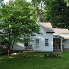
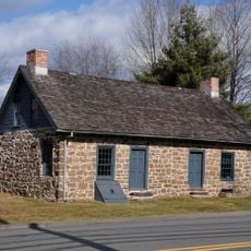
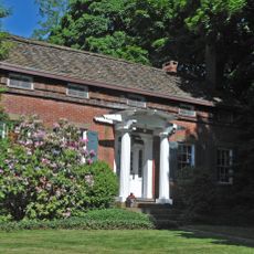
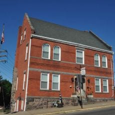
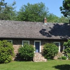
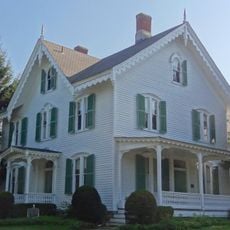
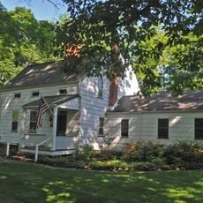
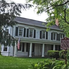
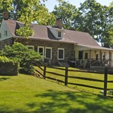
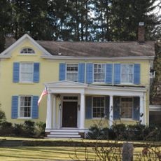
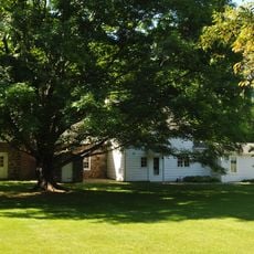
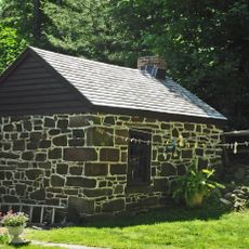
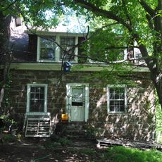
Boonton Historic District stretches across Main, Church, Birch, Cornelia, and Cedar Streets in a roughly 9-acre area. The neighborhood contains 22 buildings representing different architectural periods and design approaches.

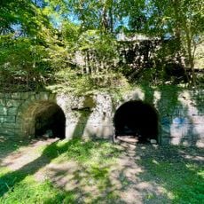
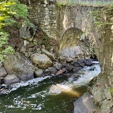
Development began around 1830 with construction of the Morris Canal, which spurred the establishment of the New Jersey Iron Company and urban growth. This early industrial activity shaped the population and buildings that now define the district.

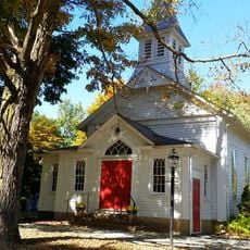
The First Presbyterian Church and Saint John's Episcopal Church showcase different architectural styles visible while walking through the neighborhood. These two houses of worship shape the streetscape and reveal how architectural variety developed across different periods.

The district is walkable and invites self-guided exploration, with informational plaques at many buildings helping you understand architectural details. The flat terrain makes it easy to explore all five streets during a single visit.

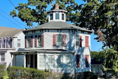
The Garret Rickards House from 1854 and another octagon house are rare examples of architect Orson Squire Fowler's design theories, which promoted eight-sided shapes as ideal for modern living. This unusual form was briefly popular but remains uncommon in inhabited landscapes today.

The community of curious travelers

AroundUs brings together thousands of curated places, local tips, and hidden gems, enriched daily by 60,000 contributors worldwide.

Start exploring
Location
GPS coordinates
40.90611,-74.41028
Latest update
December 14, 2025 18:01
Around this place
Tripod Rock
United States of America

Tripod Rock

5.3 km
Indian Lake
United States of America

Indian Lake

6.9 km
Troy Meadows
United States of America

Troy Meadows

7.2 km
Grimes Homestead
United States of America

Grimes Homestead

4.1 km
Boonton Ironworks
United States of America

Boonton Ironworks

285 m
United States of America

Boonton Gorge

709 m
Boonton Formation
United States of America

Boonton Formation

1.1 km
Arch Bridge from the Boonton Ironworks
United States of America

Arch Bridge from the Boonton Ironworks

483 m
Henry Doremus House
United States of America

Henry Doremus House

4.9 km
Parsonage of the Montville Reformed Dutch Church
United States of America

Parsonage of the Montville Reformed Dutch Church

3.9 km
Boonton Historical Society and Museum
United States of America

Boonton Historical Society and Museum

550 m
Van Duyne-Jacobus House
United States of America

Van Duyne-Jacobus House

3.9 km
Stephen Condit House
United States of America

Stephen Condit House

5.1 km
Boonton Public Library
United States of America

Boonton Public Library

104 m
Miller-Kingsland House
United States of America

Miller-Kingsland House

2.1 km
Bowers-Livingston-Osborn House
United States of America

Bowers-Livingston-Osborn House

4.8 km
Martin Van Duyne House
United States of America

Martin Van Duyne House

3.5 km
James Dixon Farm
United States of America

James Dixon Farm

3.8 km
Davenport-Demarest House
United States of America

Davenport-Demarest House

3.9 km
James Van Duyne Farmhouse
United States of America

James Van Duyne Farmhouse

5.6 km
Rockaway Valley Methodist Church
United States of America

Rockaway Valley Methodist Church

3.3 km
Johannes Parlaman House
United States of America

Johannes Parlaman House

2.6 km
Nicholas Vreeland Outkitchen
United States of America

Nicholas Vreeland Outkitchen

6.5 km
Effingham Low House
United States of America

Effingham Low House

6.9 km
Bowlsby-Degelleke House
United States of America

Bowlsby-Degelleke House

4.3 km
Boonton Falls
United States of America

Boonton Falls

612 m
Mountain Lakes Historic District
United States of America

Mountain Lakes Historic District

2.8 km
Boonton Reservoir
United States of America

Boonton Reservoir

2.6 km
Show the full map
« Boonton Historic District - Historic district in Boonton, United States » is provided by Around Us (aroundus.com). Images and texts are derived from Wikimedia project under a Creative Commons license. You are allowed to copy, distribute, and modify copies of this page, under the conditions set by the license, as long as this note is clearly visible.

Discover hidden gems everywhere you go!

From secret cafés to breathtaking viewpoints, skip the crowded tourist spots and find places that match your style. Our app makes it easy with voice search, smart filtering, route optimization, and insider tips from travelers worldwide. Download now for the complete mobile experience.

Around Us App Screenshot

A unique approach to discovering new places

Le Figaro

All the places worth exploring

France Info

A tailor-made excursion in just a few clicks

20 Minutes

Around Us
Travel Guide & Maps
Download

Send to your phone

QR Code
1

Open the camera app on your mobile.

2

Point at the QR code with your camera. A notification will appear.

3

Tap the notification to open the link.