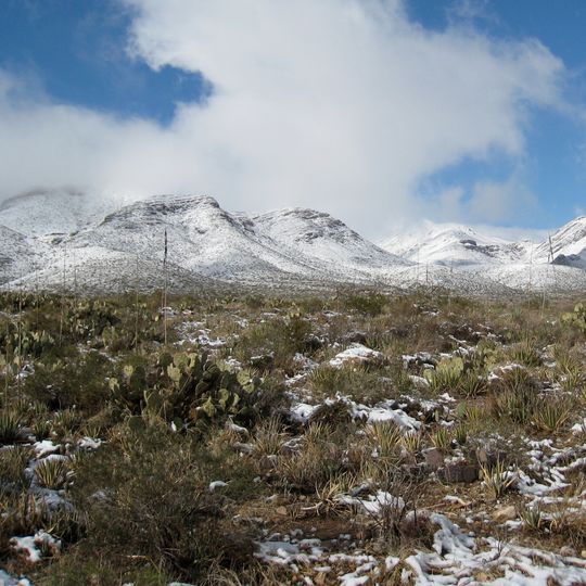
Castner Range National Monument, National monument in El Paso County, Texas
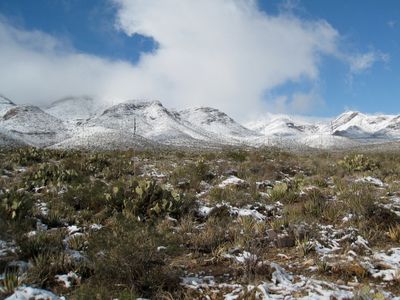
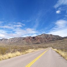
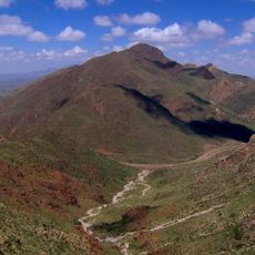
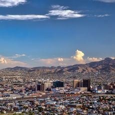
Castner Range National Monument is a national monument in El Paso County, Texas, covering more than 6,600 acres on the eastern side of the Franklin Mountains. The terrain is typical of the Chihuahuan Desert, with rocky hills, sparse desert plants, and open views in every direction.
The land has been used by people for around 8,000 years, by indigenous groups including the Apache, Puebloans, and Comanche. The US Army took over the site in 1926 for weapons and missile testing until training stopped in the late 1960s, after which it became a national monument in 2023.
The monument takes its name from General Joseph Castner, who served in the region in the early 20th century. The rock faces of the Franklin Mountains still carry drawings left by the indigenous peoples who have known this land for thousands of years.
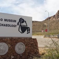
Access to the monument is currently very limited because the Army is still removing old munitions from the land. Visiting the nearby Museum of Archaeology in El Paso is a good way to learn about the area while the site itself remains off-limits.
Castner Range is the only national monument in the US managed by the Army rather than the National Park Service. In spring, Mexican gold poppies cover the slopes of the Franklin Mountains in bright orange, visible from the nearby Woodrow Bean Transmountain Drive.
The community of curious travelers
AroundUs brings together thousands of curated places, local tips, and hidden gems, enriched daily by 90,955 contributors worldwide.