
LSG-Landschaftsschutzgebiet des LP Wuppertal-Ost, protected area in Germany
Location: Wuppertal
Inception: 2004
GPS coordinates: 51.23048,7.27684
Latest update: April 16, 2025 07:15
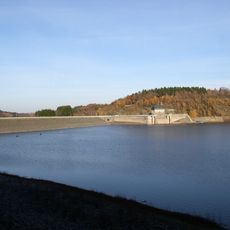
Wuppertalsperre
4 km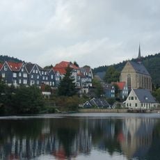
Beyenburger Stausee
2.5 km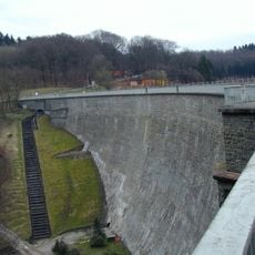
Herbringhauser Dam
256 m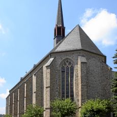
Beyenburger Klosterkirche
2.8 km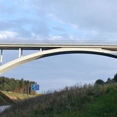
Blombachtalbrücke
3.4 km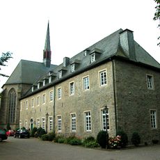
Kloster Steinhaus
2.8 km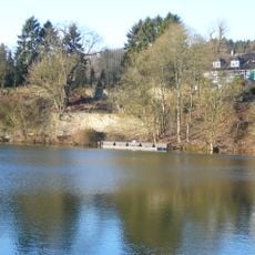
Burg Beyenburg
2.6 km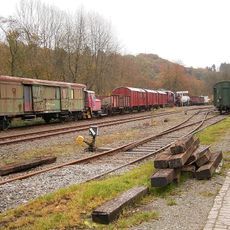
Eisenbahnmuseum Radevormwald-Dahlhausen
2.5 km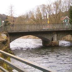
Beyenburger Brücke
2.3 km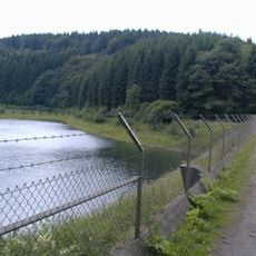
Untere Herbringhauser Talsperre
2.3 km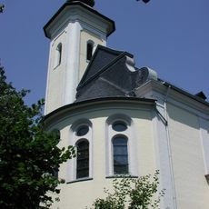
Heilig-Kreuz-Kirche
3.7 km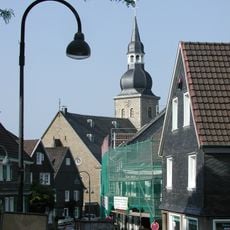
Protestant Church (Lüttringhausen)
3.8 km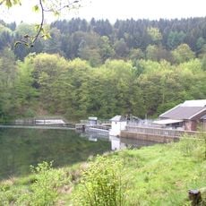
Stauanlage Dahlhausen
3 km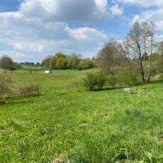
Wilhelmsthaler und Haller Bachtal
2.7 km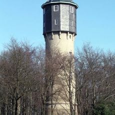
Wasserturm Lüttringhausen
2.7 km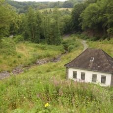
Pumpenhaus Untere Herbringhauser Talsperre
2.5 km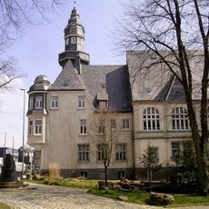
Rathaus Lüttringhausen
3.5 km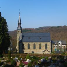
Evangelische Kirche Beyenburg
2.3 km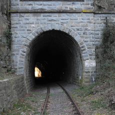
Beyenburger Tunnel
2.9 km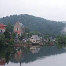
Wupperschleife Bilstein-Daipenbecke
3.5 km
Jüdischer Friedhof Remscheid-Lüttringhausen
3.8 km
Linde
2.7 km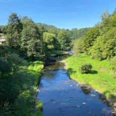
Wupper bei Radevormwald
3.3 km
Am Kriegermal 34
2.3 km
Bandwirkerei Hillringhausen
3.5 km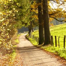
Marscheider Bachtal
2.2 km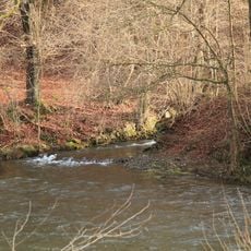
Herbringhauser Bachtal
1.5 km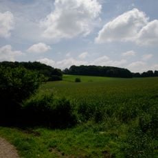
Oberlauf Marscheider Bachtal
2.9 kmReviews
Visited this place? Tap the stars to rate it and share your experience / photos with the community! Try now! You can cancel it anytime.
Discover hidden gems everywhere you go!
From secret cafés to breathtaking viewpoints, skip the crowded tourist spots and find places that match your style. Our app makes it easy with voice search, smart filtering, route optimization, and insider tips from travelers worldwide. Download now for the complete mobile experience.

A unique approach to discovering new places❞
— Le Figaro
All the places worth exploring❞
— France Info
A tailor-made excursion in just a few clicks❞
— 20 Minutes