
Siedlung Attilahöhe Attilastraße 1-19, Arnulfstraße 60-61, 77-89, Paul-Schmidt-Straße 7/39, Tankredstraße 1-25, Totilastraße 29/35C, Wittekindstraße 81-86
Siedlung Attilahöhe Attilastraße 1-19, Arnulfstraße 60-61, 77-89, Paul-Schmidt-Straße 7/39, Tankredstraße 1-25, Totilastraße 29/35C, Wittekindstraße 81-86, cultural heritage site in Berlin
Location: Tempelhof-Schöneberg
GPS coordinates: 52.45490,13.37200
Latest update: November 19, 2025 05:57
Alboinplatz
559 m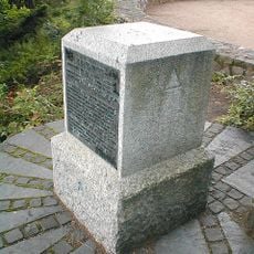
Rauenberg
509 m
II. Städtischer Friedhof Eythstraße
559 m
Hochbunker Friedrich-Karl-Straße
545 m
Saint Michael Church (Berlin)
656 m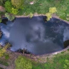
Blanke Helle
515 m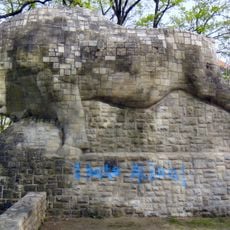
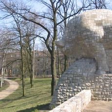
Bos primigenius
455 m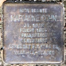
Stolperstein dedicated to Marianne Cohn
514 m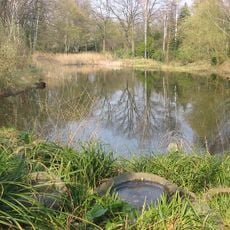
Krummer Pfuhl
504 m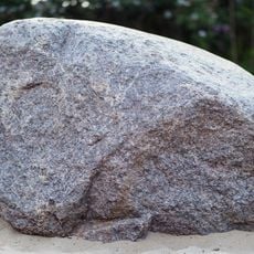
Findling, Berlin, 7-6/F
603 m
Friedhofskapelle Eythstraße 9
593 m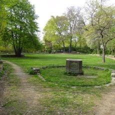
Fountain with fish relief
544 m
Marienhöhe, öffentliche Grünanlage Marienhöher Weg, Attilastraße, Gerdsmeyerweg, Röblingstraße
392 m
Sommerbühne
649 m
Wayside shrine
540 m
Theatersaal
625 m
Memorial, commemorative plaque
488 m
Wayside cross
634 m
Wayside shrine
546 m
Wayside shrine
587 m
Siedlung Blanke Helle Alboinplatz 1-15, Burgemeisterstraße 37-41, Friedrich-Wilhelm-Straße 46-51, Kaiserin-Augusta-Straße 44-49, Wittekindstraße 28/58
492 m
Mariensäule
507 m
Wayside cross
633 m
Wayside shrine
567 m
Wayside shrine
518 m
Memorial, memorial stone
516 m
Johanna Eck
599 m
Clara Wollenberg
505 mReviews
Visited this place? Tap the stars to rate it and share your experience / photos with the community! Try now! You can cancel it anytime.
Discover hidden gems everywhere you go!
From secret cafés to breathtaking viewpoints, skip the crowded tourist spots and find places that match your style. Our app makes it easy with voice search, smart filtering, route optimization, and insider tips from travelers worldwide. Download now for the complete mobile experience.

A unique approach to discovering new places❞
— Le Figaro
All the places worth exploring❞
— France Info
A tailor-made excursion in just a few clicks❞
— 20 Minutes