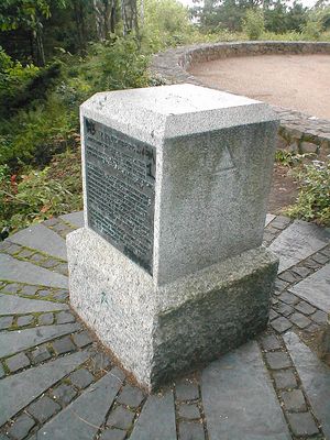
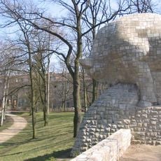
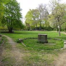
Rauenberg, Memorial stone and triangulation station in Tempelhof, Germany
Rauenberg is a monument with a granite column and metal plaques in Tempelhof that served as a survey point. The column displays geographical coordinates and information about the network that extended across large parts of Germany.
The monument was founded in 1853 and served as the foundation for the survey network that made precise mapping of Prussia possible. This system worked for over a century, supporting accurate mapping of the land until Germany's reunification.
The bronze plaques show the Prussian surveying network and remind visitors of a time when mapping required careful craft and precision. Today, you can see how important these survey points were for understanding the land.
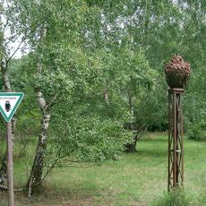
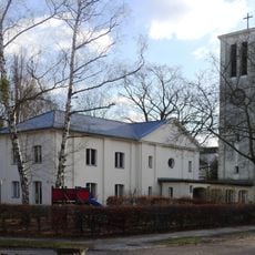
The monument was restored between 2008 and 2010 after suffering vandalism damage. Keep in mind that trees now block the original view toward Marienkirche, so explore the site from different angles to get a sense of its location.
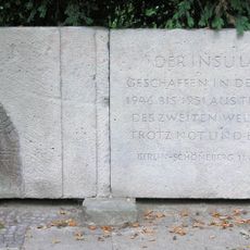
The monument stands ten meters above the original hill, which was filled with debris after World War II. This transformation shows how the city began to heal after 1945.
The community of curious travelers
AroundUs brings together thousands of curated places, local tips, and hidden gems, enriched daily by 60,000 contributors worldwide.