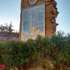
Desembocadura del río Vélez, Archaeological site at Vélez River mouth, Vélez-Málaga, Spain
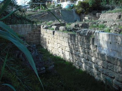
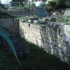
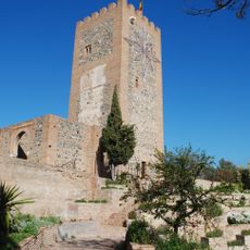
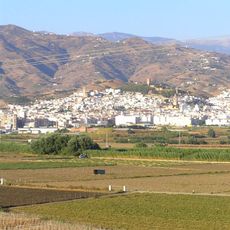
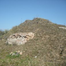
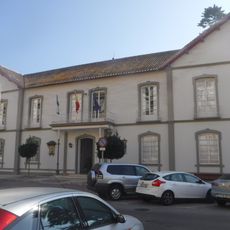
Desembocadura del río Vélez is an archaeological site where the river meets the Mediterranean, containing multiple areas with ancient structures from Phoenician settlements. The complex includes residential buildings, storage facilities, and workshops distributed across sites like Toscanos, Cerro del Peñón, and Cerro Alarcón.
Phoenician settlers arrived here in the 8th century BCE and established a trading post with storage buildings and metallurgical workshops. These facilities were part of a wider commercial network that connected communities across the ancient Mediterranean region.
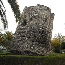
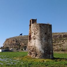
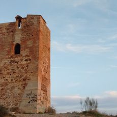
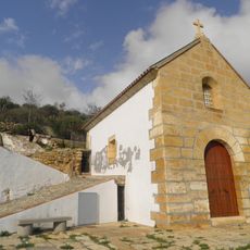
The archaeological complex shows how Phoenician people built their settlements with defensive structures and organized urban spaces that shaped daily life. Visitors can see traces of these ancient communities through the different types of structures scattered across the area.
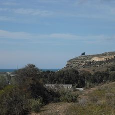
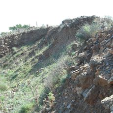
The site can be explored on foot using designated pathways and observation points available throughout the area. The natural surroundings and archaeological remains are protected, so visitors should stay on marked paths and avoid disturbing anything.
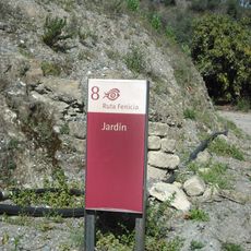
The Jardín necropolis near Toscanos displays a striking range of Phoenician tomb types, from simple rock-cut graves to elaborate monolithic burial chambers. This variety in burial construction reveals differences in social status among the ancient population.
The community of curious travelers
AroundUs brings together thousands of curated places, local tips, and hidden gems, enriched daily by 60,000 contributors worldwide.