Mickle Fell, Mountain summit in Lunedale, England
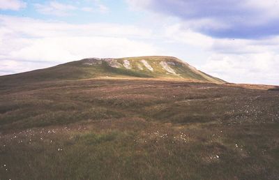
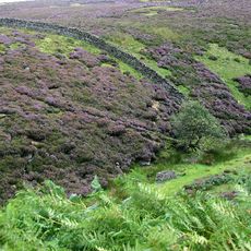
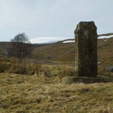
Mickle Fell is a limestone summit in the North Pennines and the highest point of the historic county of Yorkshire, reaching 788 meters (2,585 feet) above sea level. The land around it is open moorland covered in peat and heather with no tree cover.
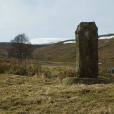
The land around Mickle Fell was used for sheep grazing for centuries, and traces of old field systems are still visible on the lower slopes. In the 20th century, a large part of the area became a military firing range, restricting public access for much of the year.
The name "Mickle" comes from Old English and simply means "great" or "large." The summit is known among walkers who set out to climb every county top in England, giving it a quiet but real place in that community.
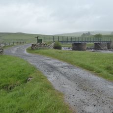
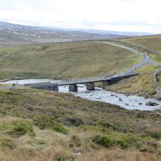
The summit sits within a military range that is closed outside set access periods, so it is worth checking opening dates before planning a visit. There are no marked trails, so a map and sturdy footwear are needed for the crossing of open moorland.
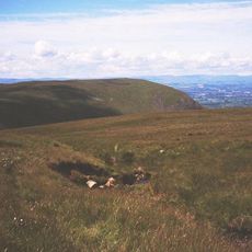
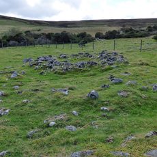
At the top, there are two stone cairns, and the northeastern one marks the actual high point, which surprises walkers who head to the other one first. Despite its height, Mickle Fell is not listed among the Wainwright fells, so it remains largely unknown even among regular hill walkers in northern England.
The community of curious travelers
AroundUs brings together thousands of curated places, local tips, and hidden gems, enriched daily by 60,000 contributors worldwide.