Enable Location

We need your location to show you interesting places around you

Discover nearby places

Find interesting locations and hidden gems around you

Precise directions

Get accurate directions and distances to places

Your location is never shared with other users. It's only used when you tap the location button.

Upper Teesdale

Log in to your account

Start exploring — it's free

Trusted by 62,496 travelers worldwide

Continue with Google
Continue with Apple
or

We will send you a code to connect

By continuing, you accept our Terms and Conditions and our Privacy Policy

Check your inbox

We've sent a pincode in your inbox. Please enter the code below.

Upper Teesdale

Upper Teesdale, Natural conservation site in County Durham, United Kingdom

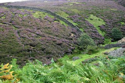
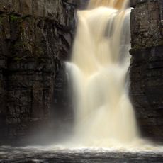
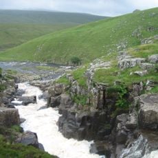
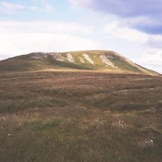
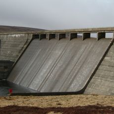
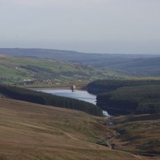
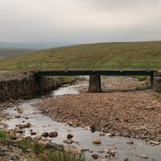
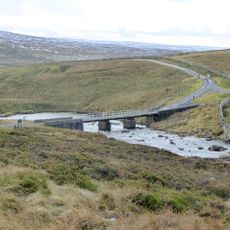
Upper Teesdale is a natural conservation site covering wetlands, moorland, and grassland in an upland area around the headwaters of the River Tees in northern England. The site encompasses several hundred hectares of rolling terrain with varying habitats that support rare plants and animal species.

The site received formal recognition as a place of special scientific importance in 1990, when it was separated from a former combined designation. This recognition reflected the value of its unique ecosystems and rare plant communities found nowhere else in most of Britain.

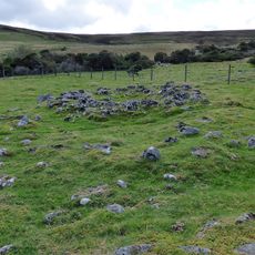
Local farmers have shaped the rolling terrain for centuries through traditional sheep grazing, which keeps open meadows and grasslands from becoming overgrown with shrubs. This working landscape remains actively managed by the community, maintaining the open spaces that many rare plants depend on.

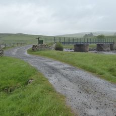
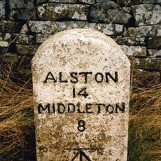
The site has multiple entry points and follows marked trails through different habitats for visitors to explore on foot. Good waterproof clothing and sturdy footwear are essential since the terrain is often boggy and muddy, especially after rain.

The area holds one of only two known outcrops of sugar limestone in Britain, a geological formation that supports highly specialized plant species. Some plants here are survivors from the last ice age and grow naturally only in arctic or high mountain regions elsewhere.

The community of curious travelers

AroundUs brings together thousands of curated places, local tips, and hidden gems, enriched daily by 60,000 contributors worldwide.

Start exploring
GPS coordinates
54.68330,-2.26667
Latest update
December 12, 2025 17:47
Around this place
High Force
United Kingdom

High Force

6.3 km
Cauldron Snout
United Kingdom

Cauldron Snout

3.7 km
Mickle Fell
United Kingdom

Mickle Fell

7.9 km
Cow Green Reservoir
United Kingdom

Cow Green Reservoir

3.2 km
Burnhope Seat
United Kingdom

Burnhope Seat

7 km
Burnhope Reservoir
United Kingdom

Burnhope Reservoir

7 km
Cronkley Bridge
United Kingdom

Cronkley Bridge

4.3 km
Wearhead Methodist Chapel
United Kingdom

Wearhead Methodist Chapel

7.9 km
John Wesley Monument
United Kingdom

John Wesley Monument

7.8 km
Weardale Museum And High House Chapel
United Kingdom

Weardale Museum And High House Chapel

7.8 km
Bridge Over River Wear
United Kingdom

Bridge Over River Wear

8 km
High House Chapel And Former Minister's House
United Kingdom

High House Chapel And Former Minister's House

7.8 km
Coronation Bridge Over River Wear
United Kingdom

Coronation Bridge Over River Wear

7.9 km
Milestone At Hanging Shaw
United Kingdom

Milestone At Hanging Shaw

4.4 km
5 Boundary Stones On Border With Cumbria
United Kingdom

5 Boundary Stones On Border With Cumbria

6.1 km
Holwick Head Bridge
United Kingdom

Holwick Head Bridge

7.1 km
Milestone 200 Metres East Of Wad Hazel Sike
United Kingdom

Milestone 200 Metres East Of Wad Hazel Sike

4.4 km
Rancho Del Rio
United Kingdom

Rancho Del Rio

7.9 km
Guidepost At Junction Of A689 And Causeway Road
United Kingdom

Guidepost At Junction Of A689 And Causeway Road

7.6 km
Milestone 120 Metres East Of Near Crookburn Sike
United Kingdom

Milestone 120 Metres East Of Near Crookburn Sike

5.5 km
Milestone 120 Metres South Of Trough Sike
United Kingdom

Milestone 120 Metres South Of Trough Sike

2.1 km
Milestone 100 Metres West Of Ettersgill Bridge
United Kingdom

Milestone 100 Metres West Of Ettersgill Bridge

7.4 km
Milestone 200 Metres South Of Redwing Plantation
United Kingdom

Milestone 200 Metres South Of Redwing Plantation

1.6 km
Milestone Half Way Between Darngill And Crookburn Bridges
United Kingdom

Milestone Half Way Between Darngill And Crookburn Bridges

6.9 km
Moor House Bridge
United Kingdom

Moor House Bridge

7.1 km
Weavers Workshop At Junction Of A689 And Causeway Road
United Kingdom

Weavers Workshop At Junction Of A689 And Causeway Road

7.6 km
Prehistoric settlements and cairnfield, medieval farmsteads, bloomeries and charcoal pits, 840m south of Cronkley on Bracken Rig
United Kingdom

Prehistoric settlements and cairnfield, medieval farmsteads, bloomeries and charcoal pits, 840m south of Cronkley on Bracken Rig

5.4 km
Birkdale footbridge
United Kingdom

Birkdale footbridge

3.6 km
Show the full map
« Upper Teesdale - Natural conservation site in County Durham, United Kingdom » is provided by Around Us (aroundus.com). Images and texts are derived from Wikimedia project under a Creative Commons license. You are allowed to copy, distribute, and modify copies of this page, under the conditions set by the license, as long as this note is clearly visible.

Discover hidden gems everywhere you go!

From secret cafés to breathtaking viewpoints, skip the crowded tourist spots and find places that match your style. Our app makes it easy with voice search, smart filtering, route optimization, and insider tips from travelers worldwide. Download now for the complete mobile experience.

Around Us App Screenshot

A unique approach to discovering new places

Le Figaro

All the places worth exploring

France Info

A tailor-made excursion in just a few clicks

20 Minutes

Around Us
Travel Guide & Maps
Download

Send to your phone

QR Code
1

Open the camera app on your mobile.

2

Point at the QR code with your camera. A notification will appear.

3

Tap the notification to open the link.