Stanton, civil parish in Derbyshire Dales, Derbyshire, England
The community of curious travelers
AroundUs brings together thousands of curated places, local tips, and hidden gems, enriched daily by 60,000 contributors worldwide.
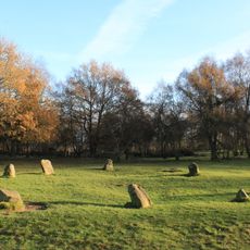
Nine Ladies
1 km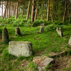
Doll Tor
1.5 km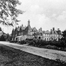
Stancliffe Hall
2.5 km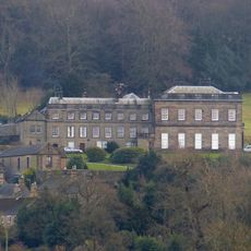
Stanton Hall
173 m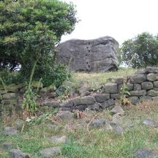
Andle Stone
1.3 km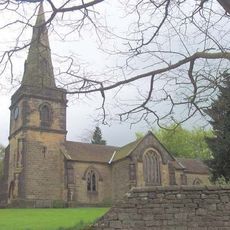
Holy Trinity Church, Stanton-in-Peak
104 m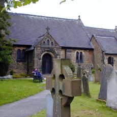
Church of St Katherine
2.2 km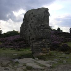
Rowtor Rocks
1.5 km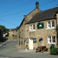
The Flying Childers Inn
180 m
Druid Inn
2.2 km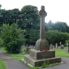
Rowsley War Memorial
2.2 km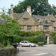
The Peacock Hotel
2.1 km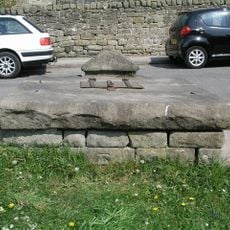
Village Well
2.1 km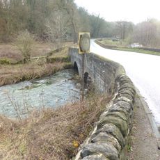
Hawley Bridge 100 metres north north east of Harthill Lodge
1.2 km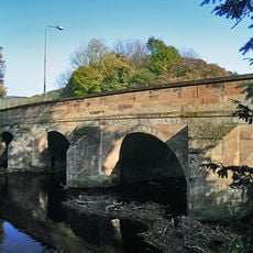
Rowsley Bridge
2.2 km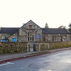
Village school, attached wall and lavatories
2.1 km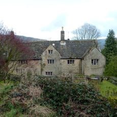
Stanton Old Hall
1.1 km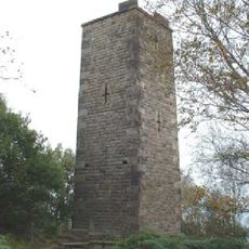
Reform Tower
1.3 km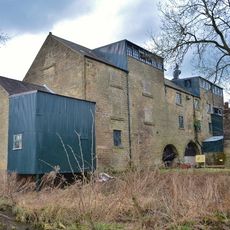
Caudwells Mill
2 km
Milestone 15 Metres North Of Stoney Ley Lodge
1.4 km
Barn at Harthill Hall Farm
1.4 km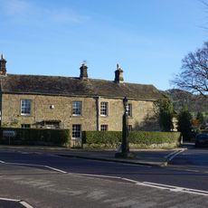
Bridge House Farmhouse
2.1 km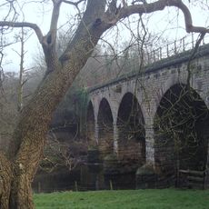
Railway viaduct, embankment and overbridge to the east of Church Farm
2.2 km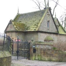
The Lodge
534 m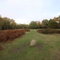
Bronze Age burial, ceremonial and settlement remains on Stanton Moor, and evidence for medieval, post-medieval and 19th to early
1.3 km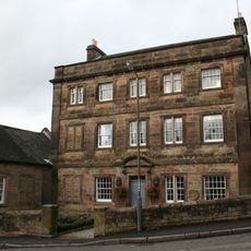
Holly House
189 m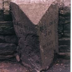
Milestone, Darley Road; Southern end of Northwood Village
2.3 km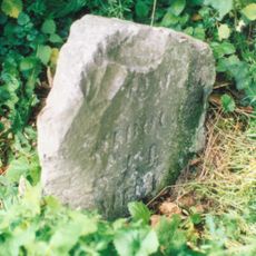
Milestone, near Oxclose Wood, S of A6 jct
1.3 kmDiscover hidden gems everywhere you go!
From secret cafés to breathtaking viewpoints, skip the crowded tourist spots and find places that match your style. Our app makes it easy with voice search, smart filtering, route optimization, and insider tips from travelers worldwide. Download now for the complete mobile experience.

A unique approach to discovering new places❞
— Le Figaro
All the places worth exploring❞
— France Info
A tailor-made excursion in just a few clicks❞
— 20 Minutes