
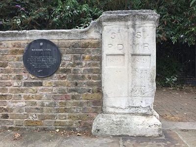
Parish Boundary Stone, Wall And Pier, boundary marker in Southwark, Greater London, UK
Location: London Borough of Southwark
Part of: political border
GPS coordinates: 51.49327,-0.03357
Latest update: March 2, 2025 23:21
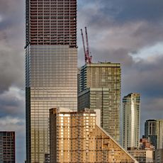
Landmark Pinnacle
1.2 km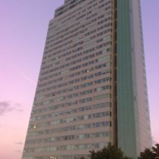
Aragon Tower
320 m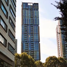
Maine Tower
1.1 km
Deptford Park
848 m
The Space
1.1 km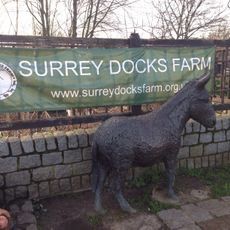
Surrey Docks Farm
716 m
Baltic Quay
319 m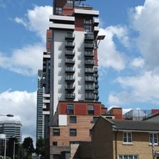
Phoenix Heights
1.2 km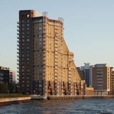
Cascades
1.2 km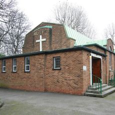
Holy Trinity Church, Rotherhithe
807 m
Swedish Quays
281 m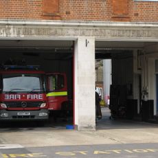
Deptford Fire Station
948 m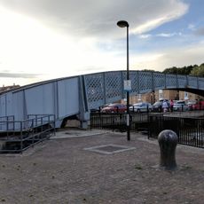
Footbridge Over Greenland Dock
260 m
The Plate House
1.1 km
The Forge, Millwall
1.1 km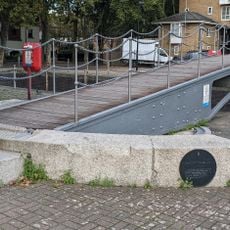
Swing Bridge Over Cutting Between Greenland Dock And Norway Dock
345 m
1-37 Burrells Wharf Square
1.2 km
Rotherhithe (Holy Trinity) War Memorial
789 m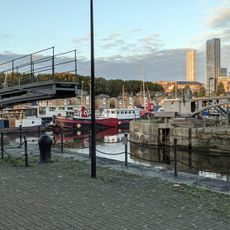
Swing Footbridge Over Steelyard Cut
242 m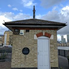
Tide Gauge House On South Quay Of Greenland Lock
270 m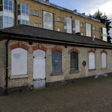
Lock Keepers Cabin And Storeroom On South Quay Of Greenland Lock
246 m
Greenland Lock Including Gates, Bollards And Capstans
282 m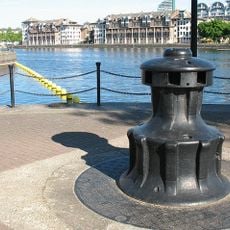
Capstan, Greenland Dock
530 m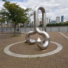
Curlicue
319 m
Boundary Wall To Convoy's Wharf
1.1 km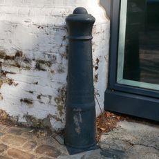
Cast Iron Bollard At Junction With Watergate Street
1.1 km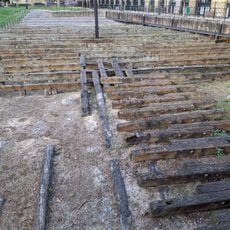
Site of the launch ways of the SS Great Eastern
1 km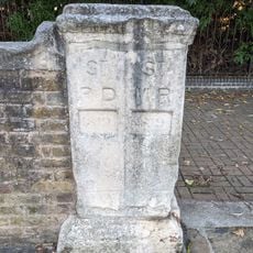
Parish Boundary Stone
74 mReviews
Visited this place? Tap the stars to rate it and share your experience / photos with the community! Try now! You can cancel it anytime.
Discover hidden gems everywhere you go!
From secret cafés to breathtaking viewpoints, skip the crowded tourist spots and find places that match your style. Our app makes it easy with voice search, smart filtering, route optimization, and insider tips from travelers worldwide. Download now for the complete mobile experience.

A unique approach to discovering new places❞
— Le Figaro
All the places worth exploring❞
— France Info
A tailor-made excursion in just a few clicks❞
— 20 Minutes