
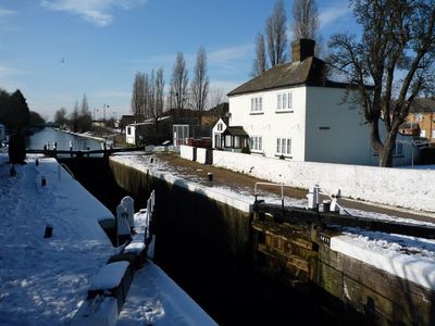
Walls, Gates, Sluices And Bridge At Lock, structure in Ealing, Greater London, UB2
Location: London Borough of Ealing
GPS coordinates: 51.50191,-0.36301
Latest update: March 15, 2025 03:45
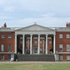
Osterley House
1.6 km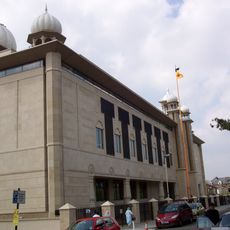
Gurdwara Sri Guru Singh Sabha
1.3 km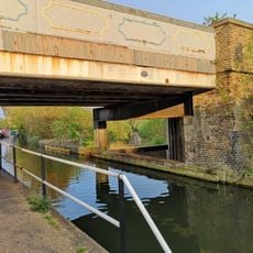
Windmill Bridge
594 m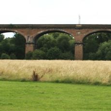
Wharncliffe Viaduct
1.6 km
Southall Railway Centre
723 m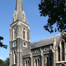
St. Mary's Church, Hanwell
1.7 km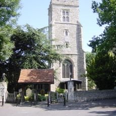
St Leonard's Church, Heston
2 km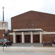
St Anselm's Church, Southall
1.2 km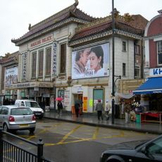
Palace Cinema
1.3 km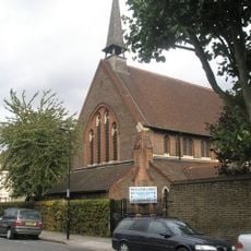
Church of St George
1.9 km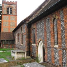
Church of St Mary
786 m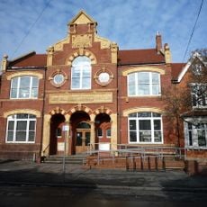
Southall Library (Dominion Centre and Library)
1.3 km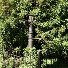
Water Pump (On The South Side Of West Middlesex Golf Course, Nearly Opposite Lyndhurst Avenue)
972 m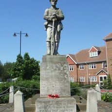
Heston War Memorial
2 km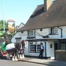
The Plough Public House
782 m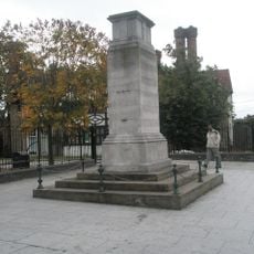
Southall War Memorial
1.2 km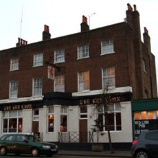
Red Lion Public House
1.1 km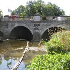
Hanwell Bridge
1.6 km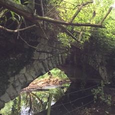
Roman Bridge
774 m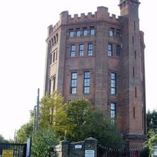
The Water Tower
1.3 km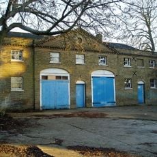
Stable Block At Brent Lodge Park
1.6 km
Former Norwood Free School
729 m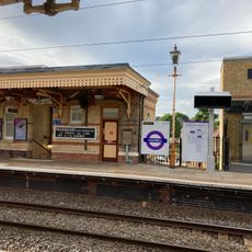
Main Up Side Building and Downside Island Platform at Hanwell Station
2 km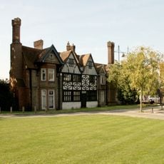
Southall Manor House
1.3 km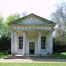
The Temple In Osterley Park
1.4 km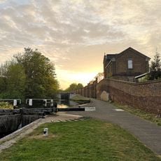
Hanwell flight of locks and brick boundary wall of St Bernard's Hospital
1.1 km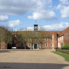
Osterley House Stables
1.5 km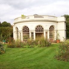
Aviary or Little Orangerey in Osterley Park
1.4 kmReviews
Visited this place? Tap the stars to rate it and share your experience / photos with the community! Try now! You can cancel it anytime.
Discover hidden gems everywhere you go!
From secret cafés to breathtaking viewpoints, skip the crowded tourist spots and find places that match your style. Our app makes it easy with voice search, smart filtering, route optimization, and insider tips from travelers worldwide. Download now for the complete mobile experience.

A unique approach to discovering new places❞
— Le Figaro
All the places worth exploring❞
— France Info
A tailor-made excursion in just a few clicks❞
— 20 Minutes