
East Pylon, tower in The City of Brighton and Hove, West Sussex, UK
Location: Brighton and Hove
Part of: Patcham Pylon
GPS coordinates: 50.88061,-0.16509
Latest update: April 10, 2025 16:00
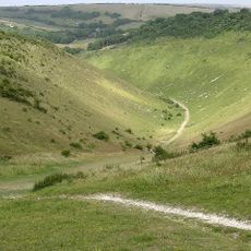
Devil's Dyke, Sussex
3.3 km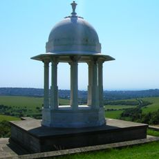
Chattri
1.3 km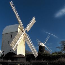
Clayton Windmills
3 km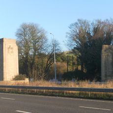
Patcham Pylon
12 m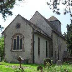
St John the Baptist's Church, Clayton
3.4 km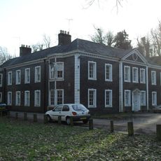
Patcham Place
1.9 km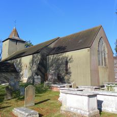
All Saints Church, Patcham
1.9 km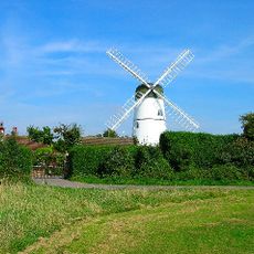
Waterhall Mill
2 km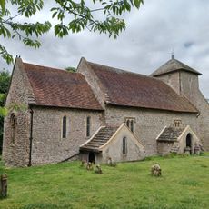
Church of the Transfiguration, Pyecombe
2 km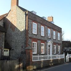
Southdown House
2.1 km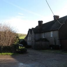
Saddlescombe Preceptory
2.2 km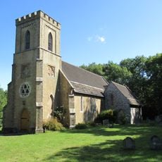
The Parish Church of St John Evangelist
3.4 km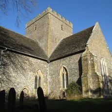
The Church of the Holy Trinity, Poynings
3.1 km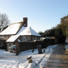
Hobbs Cottage
1.7 km
Pyecombe Manor
2.4 km
Wolstonbury
3.3 km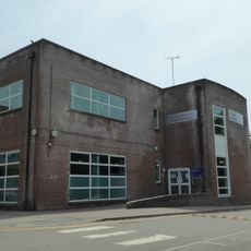
Patcham Library
2.4 km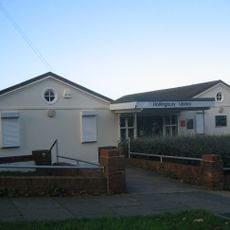
Hollingbury Library
3.4 km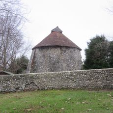
Dovecote at Patcham Court Farm, 80m north west of All Saints Church
1.8 km
106 And 108, Old London Road
2.1 km
The Old School House
2 km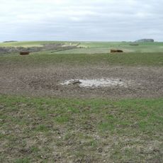
A saucer barrow and three bowl barrows on Tegdown Hill
2.2 km
Wolstonbury Camp: a Ram's Hill type enclosure on Wolstonbury Hill and associated later remains
3.3 km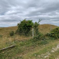
Cross dyke and bowl barrow 310m south east of Wolstonbury Camp
2.9 km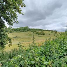
Roman road and 18th century coaching road N of Pyecombe church
2.5 km
Devil's Dyke hillfort
3.2 km
Redhouse Farmhouse
3.1 km
Romano-British farmstead, field system and trackway on Wolstonbury Hill
3.4 kmReviews
Visited this place? Tap the stars to rate it and share your experience / photos with the community! Try now! You can cancel it anytime.
Discover hidden gems everywhere you go!
From secret cafés to breathtaking viewpoints, skip the crowded tourist spots and find places that match your style. Our app makes it easy with voice search, smart filtering, route optimization, and insider tips from travelers worldwide. Download now for the complete mobile experience.

A unique approach to discovering new places❞
— Le Figaro
All the places worth exploring❞
— France Info
A tailor-made excursion in just a few clicks❞
— 20 Minutes