
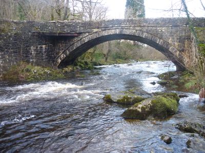
Pont Dol-Gefeliau, A470 ,, Grade II listed building in Gwynedd.
Location: Ganllwyd
Elevation above the sea: 94.1 m
GPS coordinates: 52.82446,-3.89946
Latest update: September 23, 2025 16:46
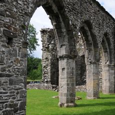
Cymer Abbey
7.4 km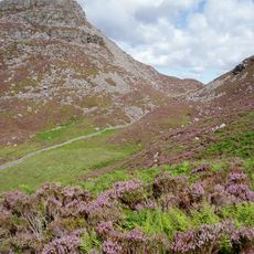
Rhinog Fawr
6.7 km
Rhobell Fawr
6.7 km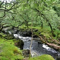
Dolmelynllyn Estate
2.6 km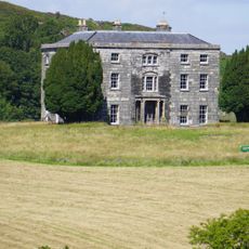
Nannau
6.5 km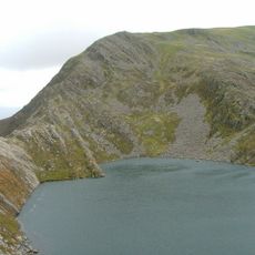
Y Llethr
6.1 km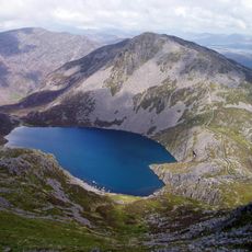
Rhinog Fach
5.6 km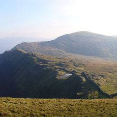
Diffwys
6.9 km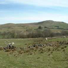
Moel Oernant
7.4 km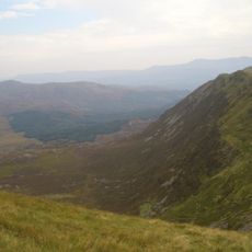
Crib-y-rhiw
6.1 km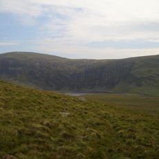
Diffwys West Top
6.9 km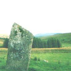
Llech Idris
4.3 km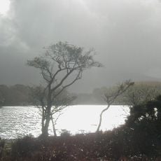
Llyn Cynwch
6.3 km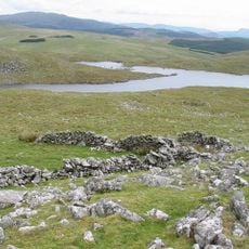
Llyn Gelli Gain
6.1 km
Llyn Dulyn
6.4 km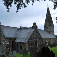
St. Machreth's Church
5.5 km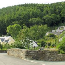
Pont Wnion
7.5 km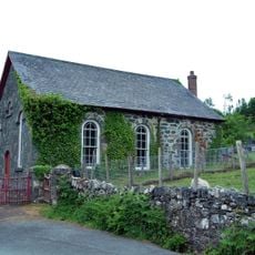
Llanfachreth Chapel
5.6 km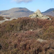
Craig y Ganllwyd
1.7 km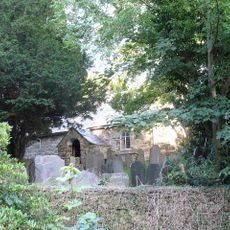
Parish Church of St Illtyd
7.4 km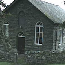
Pen-Stryd Welsh Independent Chapel
4.6 km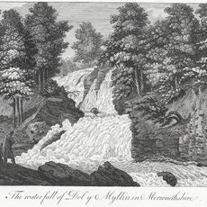
Rhaeadr Du
2.5 km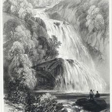
Rhaeadr Mawddach
1.6 km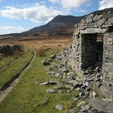
Cefn Cam quarry
4.3 km
Dolmelynllyn Hall
2.9 km
The Toll House, A 470 (Nw Side), Llanelltyd
7.4 km
Libanus Welsh Independent Chapel
2.4 km
Ganllwyd
3.3 kmReviews
Visited this place? Tap the stars to rate it and share your experience / photos with the community! Try now! You can cancel it anytime.
Discover hidden gems everywhere you go!
From secret cafés to breathtaking viewpoints, skip the crowded tourist spots and find places that match your style. Our app makes it easy with voice search, smart filtering, route optimization, and insider tips from travelers worldwide. Download now for the complete mobile experience.

A unique approach to discovering new places❞
— Le Figaro
All the places worth exploring❞
— France Info
A tailor-made excursion in just a few clicks❞
— 20 Minutes