
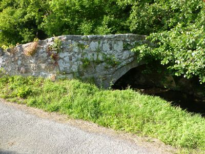
Ffrith Bridge, Grade II listed building in Flintshire. Situated on the E side of Ffrith at the point at which Cymau Road becomes a track, the bridge carries the road over the River Cedigog.
Location: Llanfynydd
Elevation above the sea: 115.1 m
GPS coordinates: 53.09027,-3.06692
Latest update: April 30, 2025 23:49

Plas Teg
4.4 km
Caergwrle Castle
2.8 km
Alyn Waters
3.4 km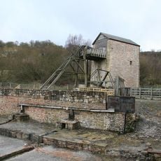
Minera Lead Mines
4.4 km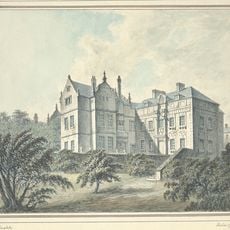
Brymbo Hall
2.1 km
Nant Mill
5.2 km
Fferm Farmhouse
5.1 km
Ogof Dydd Byraf
4.6 km
Ogof Llyn Parc
5.9 km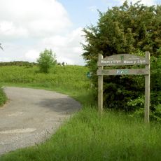
Waun-Y-Llyn Country Park
2.9 km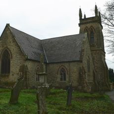
Church of St Mary
3.8 km
St Andrew's Church
5.1 km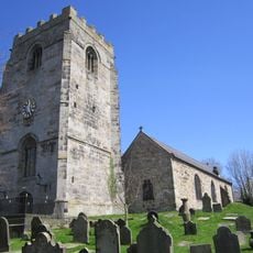
St Cyngar's Church
3.9 km
Holy Trinity Church
3.5 km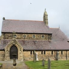
St Mary's Church
4.3 km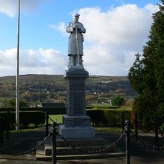
Coedpoeth War Memorial
4.3 km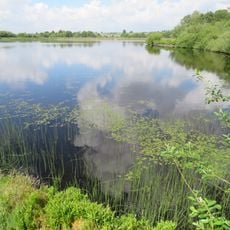
Nant-y-Ffrith Reservoir
4.8 km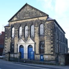
Salem Welsh Independent Chapel
4.1 km
Llay Miners Welfare Institute
4.3 km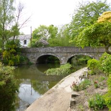
Bridge End Bridge
3.1 km
Christ Church
2.9 km
Coedpoeth Library
4.1 km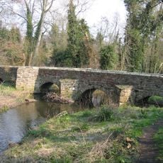
Pack Horse Bridge, Hope, Flintshire
3 km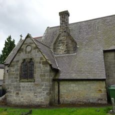
Pen-y-Nant
3.9 km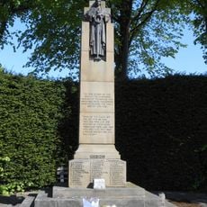
Gwersyllt War Memorial
3.8 km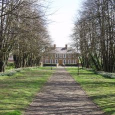
Croesnewydd Hall
5.8 km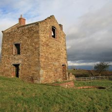
Pen-rhos Engine House
2.1 km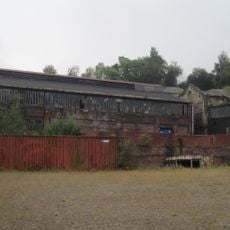
Former Agent's House At Site Of Brymbo Ironworks
2 kmReviews
Visited this place? Tap the stars to rate it and share your experience / photos with the community! Try now! You can cancel it anytime.
Discover hidden gems everywhere you go!
From secret cafés to breathtaking viewpoints, skip the crowded tourist spots and find places that match your style. Our app makes it easy with voice search, smart filtering, route optimization, and insider tips from travelers worldwide. Download now for the complete mobile experience.

A unique approach to discovering new places❞
— Le Figaro
All the places worth exploring❞
— France Info
A tailor-made excursion in just a few clicks❞
— 20 Minutes