
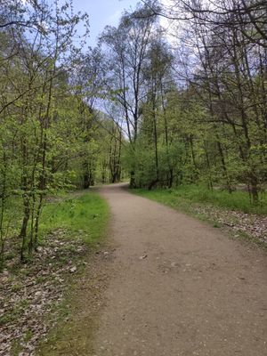
Szlak im. Polskich Szkół Mniejszościowych, turistická trasa, Slezské a Opolské vojvodství, Polsko
Location: Silesian Voivodeship
Location: Opole Voivodeship
GPS coordinates: 50.09276,18.25187
Latest update: March 15, 2025 04:20
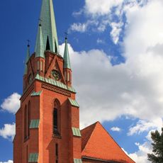
Church of the Assumption in Racibórz
2.2 km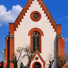
Saint James church in Racibórz
2.2 km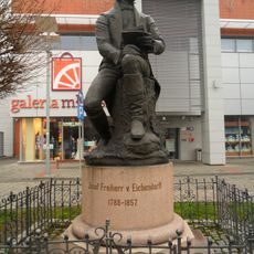
Eichendorff memorial
2.1 km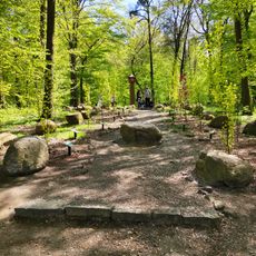
Drzewka Miast Partnerskich
1.4 km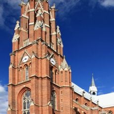
Church of John the Baptist in Racibórz
2.1 km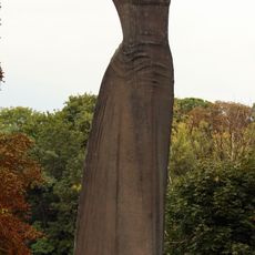
Matka Polka monument in Racibórz
2.2 km
Sobtzick’s Roka factory
2 km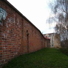
City walls in Racibórz
2.2 km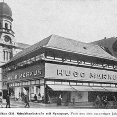
Synagogue in Racibórz
2.2 km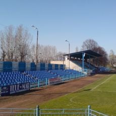
Stadion Unii Racibórz
827 m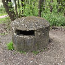
Kochbunker in Racibórz
1 km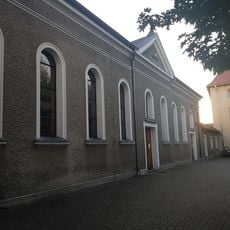
Kościół św. Paschalisa w Raciborzu
1.6 km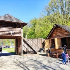
Medieval settlement in Racibórz
855 m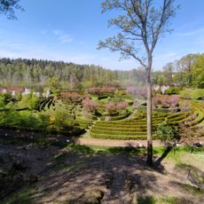
Zaczarowany Ogród
1.4 km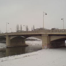
Zamkowy Bridge in Racibórz
2.1 km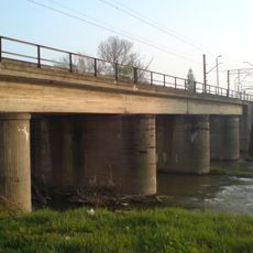
Railway bridge over the Oder in Racibórz
1.6 km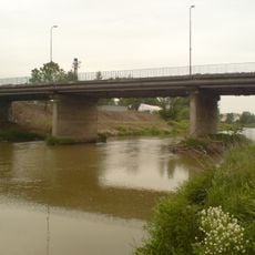
Bridge on Piaskowa street in Racibórz
1.6 km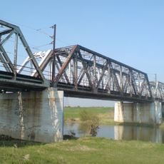
Railway bridge over Ulga Canal in Racibórz
1.1 km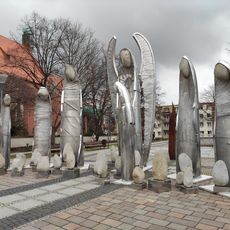
Anioły
2.2 km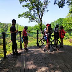
Platforma widokowa w Oborze
1.4 km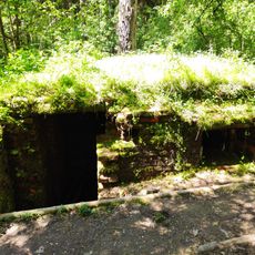
A field shelter from the times of World War II in Racibórz
1.1 km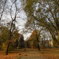
Park im. kpt. Franciszka Stala, Kawalera Orderu Virtuti Militari w Raciborzu
2.1 km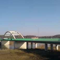
Bridge on Rybnicka street in Racibórz
89 m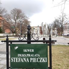
Square Stefana Pieczki
2.2 km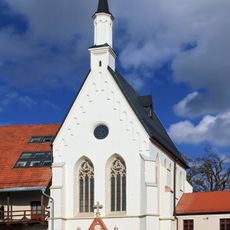
Chapel of St. Thomas Becket, Racibórz
2.2 km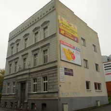
15 Podwale Street in Racibórz
2.1 km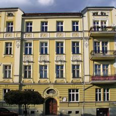
Tenement house, 4 Batorego Street in Racibórz
2.1 km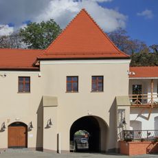
Gatehouse of Racibórz Castle
2.2 kmReviews
Visited this place? Tap the stars to rate it and share your experience / photos with the community! Try now! You can cancel it anytime.
Discover hidden gems everywhere you go!
From secret cafés to breathtaking viewpoints, skip the crowded tourist spots and find places that match your style. Our app makes it easy with voice search, smart filtering, route optimization, and insider tips from travelers worldwide. Download now for the complete mobile experience.

A unique approach to discovering new places❞
— Le Figaro
All the places worth exploring❞
— France Info
A tailor-made excursion in just a few clicks❞
— 20 Minutes