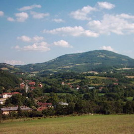
Stragari, rural settlement in Šumadija and Western Serbia, Serbia
The community of curious travelers
AroundUs brings together thousands of curated places, local tips, and hidden gems, enriched daily by 60,000 contributors worldwide.
Oplenac
11.1 km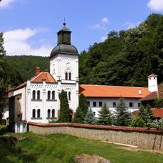
Vraćevšnica monastery
10.5 km
Ostrvica
16.6 km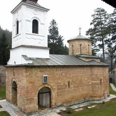
Drača monastery
17 km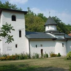
Voljavča Monastery
3.8 km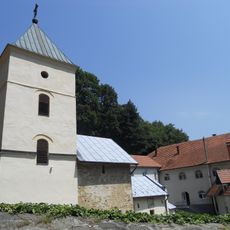
Blagoveštenje Rudničko Monastery
6.2 km
Risovača Cave
18.4 km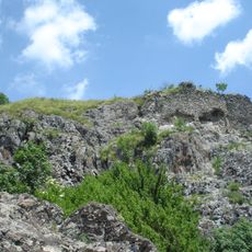
Ostrvica Castle
16.6 km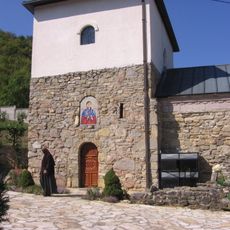
Nikolje Rudničko Monastery
7 km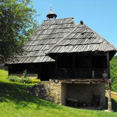
Miloš Obrenović's House
11.7 km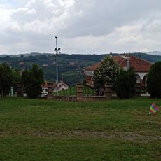
Карађорђева
10.8 km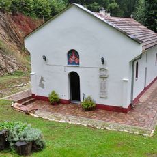
Monastère de Brezovac
13.9 km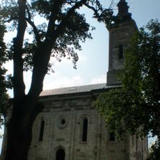
Crkva Sv. arhangela Gavrila
18.3 km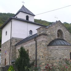
Petkovica Monastery
3.1 km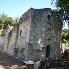
Stara crkva
11.1 km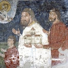
Crkva Sv. Nikole
7.2 km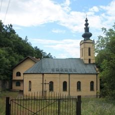
Prekopeča Monastery
16.8 km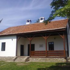
Vieille école à Ovsište
6.4 km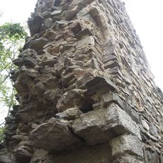
Srebrenica Fortress
4.9 km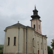
Crkva Preobraženja Gospodnjeg
12 km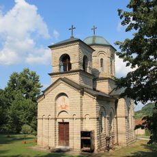
Crkva Sv. Save
11 km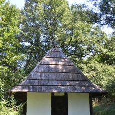
Crkva brvnara
14.9 km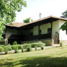
Library „Radoje Domanović“ Topola
11.5 km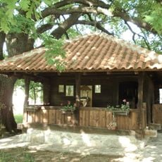
Église en bois de la Sainte-Parascève de Sepci
17.4 km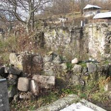
Mrnjina crkva
18 km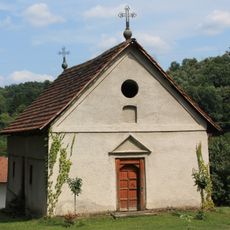
Crkva Pokrova Presvete Bogorodice
11 km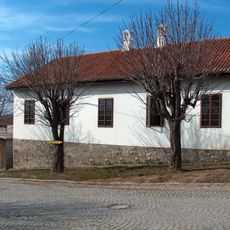
Bâtiment situé 1 rue Surepova à Topola
11.7 km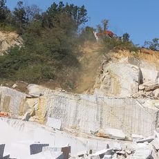
Albian fauna
11.4 kmDiscover hidden gems everywhere you go!
From secret cafés to breathtaking viewpoints, skip the crowded tourist spots and find places that match your style. Our app makes it easy with voice search, smart filtering, route optimization, and insider tips from travelers worldwide. Download now for the complete mobile experience.

A unique approach to discovering new places❞
— Le Figaro
All the places worth exploring❞
— France Info
A tailor-made excursion in just a few clicks❞
— 20 Minutes
