Enable Location

We need your location to show you interesting places around you

Discover nearby places

Find interesting locations and hidden gems around you

Precise directions

Get accurate directions and distances to places

Your location is never shared with other users. It's only used when you tap the location button.

Woodford County

Log in to your account

Start exploring — it's free

Trusted by 61,952 travelers worldwide

Continue with Google
Continue with Apple
or

We will send you a code to connect

By continuing, you accept our Terms and Conditions and our Privacy Policy

Check your inbox

We've sent a pincode in your inbox. Please enter the code below.

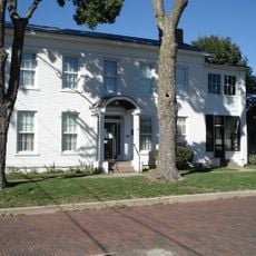
Woodford County, Administrative county in Illinois, United States.

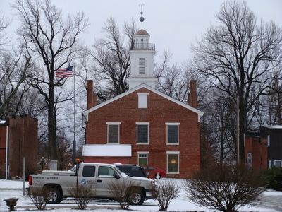
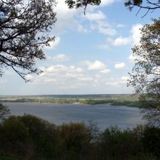
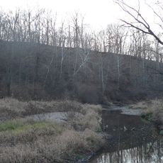
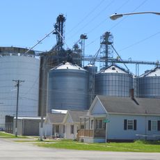
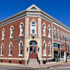
Woodford County is an administrative county in central Illinois covering roughly 540 square miles of farmland, small towns, and river valleys. The county seat is located in Eureka and serves as the center of local government.

The county was established in 1841 from portions of neighboring counties and named after a Revolutionary War general. This founding period reflected the rapid westward expansion happening across Illinois at that time.

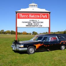
The area was a stronghold of anti-slavery sentiment in the 1800s and provided shelter to people escaping bondage. This commitment to freedom deeply shaped how residents viewed themselves and their community.

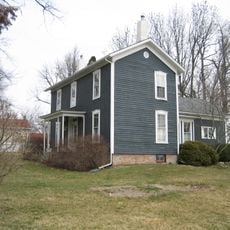
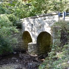
The area is relatively flat and easy to navigate by car, with roads laid out in a regular grid pattern. Visitors should expect services and attractions to be spread across several small towns rather than concentrated in one location.

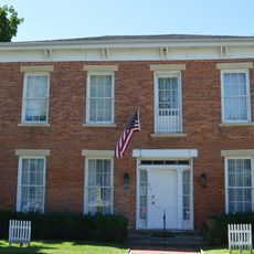
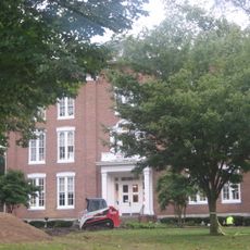
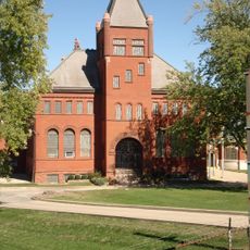
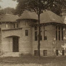
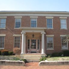
Eureka College, founded in the middle of the 1800s, produced several notable figures including a former U.S. President. This small college had an outsized influence on American political history.

The community of curious travelers

AroundUs brings together thousands of curated places, local tips, and hidden gems, enriched daily by 60,000 contributors worldwide.

Start exploring
Location
Inception
1841
Capital city
Eureka
Shares border with
Marshall County, LaSalle County, Livingston County, McLean County, Tazewell County, Peoria County
GPS coordinates
40.79000,-89.21000
Latest update
December 15, 2025 13:21
Around this place
Grandview Drive
United States of America

Grandview Drive

29.7 km
Murray Baker Bridge
United States of America

Murray Baker Bridge

33.5 km
McClugage Bridge
United States of America

McClugage Bridge

29.4 km
Taft Homes
United States of America

Taft Homes

33.2 km
Scottish Rite Cathedral
United States of America

Scottish Rite Cathedral

33.6 km
United States of America

Woodford State Fish and Wildlife Area

24.3 km
John C. Flanagan House Museum
United States of America

John C. Flanagan House Museum

33.1 km
George L. Luthy Memorial Botanical Garden
United States of America

George L. Luthy Memorial Botanical Garden

31.8 km
Metamora Courthouse State Historic Site
United States of America

Metamora Courthouse State Historic Site

12.8 km
Spider Hill
United States of America

Spider Hill

29.6 km
Farm Creek Section
United States of America

Farm Creek Section

26.8 km
Hubbard House
United States of America

Hubbard House

27.6 km
Adlai E. Stevenson I House
United States of America

Adlai E. Stevenson I House

12.9 km
Eureka College Administration Building and Chapel
United States of America

Eureka College Administration Building and Chapel

9.8 km
Peoria Waterworks
United States of America

Peoria Waterworks

29.8 km
Peoria Automobile Club
United States of America

Peoria Automobile Club

26.7 km
YWCA Building
United States of America

YWCA Building

33.6 km
Forest Park Nature Center
United States of America

Forest Park Nature Center

31.3 km
El Paso Public Library
United States of America

El Paso Public Library

17.1 km
Benson Water Tower
United States of America

Benson Water Tower

10.2 km
Cemetery Road Bridge
United States of America

Cemetery Road Bridge

19.9 km
Denhart Bank Building
United States of America

Denhart Bank Building

19.2 km
The Peoria PlayHouse
United States of America

The Peoria PlayHouse

31.8 km
Dement-Zinser House
United States of America

Dement-Zinser House

19.2 km
Joseph Schertz House
United States of America

Joseph Schertz House

16.9 km
North Side Historic District
United States of America

North Side Historic District

32.9 km
Town Theatre
United States of America

Town Theatre

27.2 km
Judge Jacob Gale House
United States of America

Judge Jacob Gale House

33.5 km
Show the full map
« Woodford County - Administrative county in Illinois, United States » is provided by Around Us (aroundus.com). Images and texts are derived from Wikimedia project under a Creative Commons license. You are allowed to copy, distribute, and modify copies of this page, under the conditions set by the license, as long as this note is clearly visible.

Discover hidden gems everywhere you go!

From secret cafés to breathtaking viewpoints, skip the crowded tourist spots and find places that match your style. Our app makes it easy with voice search, smart filtering, route optimization, and insider tips from travelers worldwide. Download now for the complete mobile experience.

Around Us App Screenshot

A unique approach to discovering new places

Le Figaro

All the places worth exploring

France Info

A tailor-made excursion in just a few clicks

20 Minutes

Around Us
Travel Guide & Maps
Download

Send to your phone

QR Code
1

Open the camera app on your mobile.

2

Point at the QR code with your camera. A notification will appear.

3

Tap the notification to open the link.