South Darley, civil parish in Derbyshire Dales, Derbyshire, England
The community of curious travelers
AroundUs brings together thousands of curated places, local tips, and hidden gems, enriched daily by 60,000 contributors worldwide.
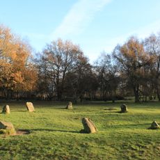
Nine Ladies
3.1 km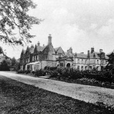
Stancliffe Hall
2.9 km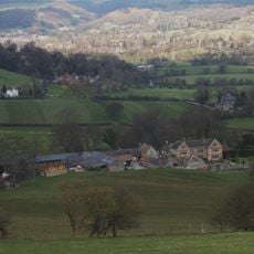
Snitterton Hall
1.3 km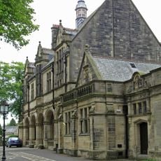
Whitworth Institute
2 km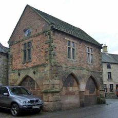
Winster Market House
2.6 km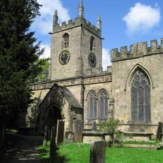
Parish Church of St Helen
2 km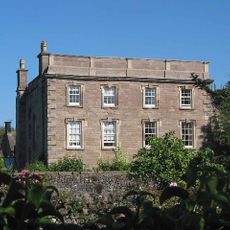
Winster Hall
2.7 km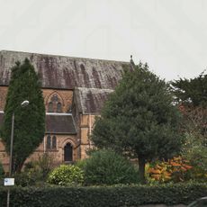
Church of All Saints
3.1 km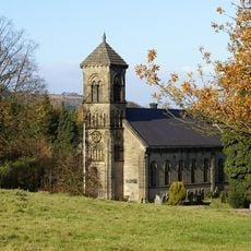
St Mary the Virgin's Church
474 m
Old Millclose engine house and associated features, 570m south west of Cowley Hall
1.3 km
St John the Baptist's Church, Winster
2.9 km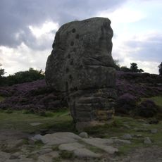
Rowtor Rocks
3 km
Mile Stone
1.4 km
Village Well
3 km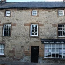
Holmelea
2.8 km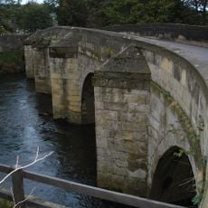
Darley Bridge
1.1 km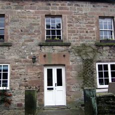
The Old Shoulder Of Mutton Inn
2.8 km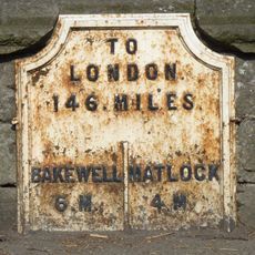
Mile Post 4 Miles From Matlock
2 km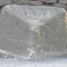
Mile Stone 3 Miles From Matlock
1.8 km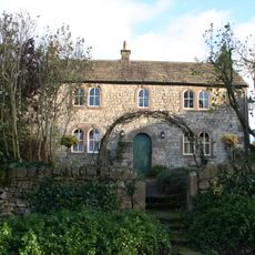
Bank Top Farmhouse
3 km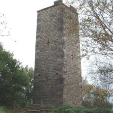
Reform Tower
2.9 km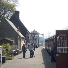
Darley Dale Station (Building On North Platform)
1.7 km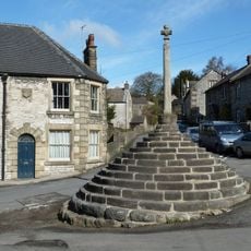
Market Cross
3 km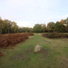
Bronze Age burial, ceremonial and settlement remains on Stanton Moor, and evidence for medieval, post-medieval and 19th to early
2.9 km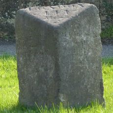
Mile Stone 2 Miles From Matlock
2.8 km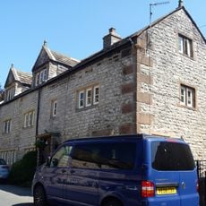
8 And 10, High Street
2.9 km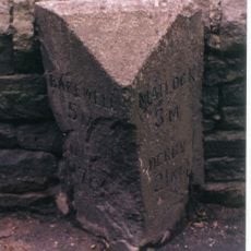
Milestone, Darley Road; Southern end of Northwood Village
3 km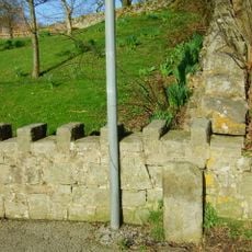
Milestone, Darley Bridge, Wensley, Oaker Road
324 mDiscover hidden gems everywhere you go!
From secret cafés to breathtaking viewpoints, skip the crowded tourist spots and find places that match your style. Our app makes it easy with voice search, smart filtering, route optimization, and insider tips from travelers worldwide. Download now for the complete mobile experience.

A unique approach to discovering new places❞
— Le Figaro
All the places worth exploring❞
— France Info
A tailor-made excursion in just a few clicks❞
— 20 Minutes