
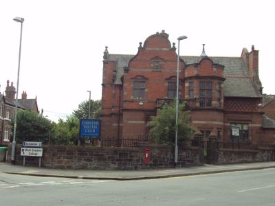
Boys Club, Grade II listed building in Chester, Cheshire West and Chester, Cheshire, CH4
Location: Cheshire West and Chester
Inception: 1895
Architects: Thomas Meakin Lockwood
Made from material: sandstone ashlar, brick, slate
GPS coordinates: 53.18263,-2.88842
Latest update: March 10, 2025 06:55
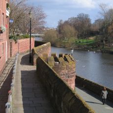
Chester city walls
421 m
Chester Castle
395 m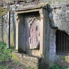
Minerva's Shrine, Chester
195 m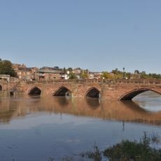
Old Dee Bridge
321 m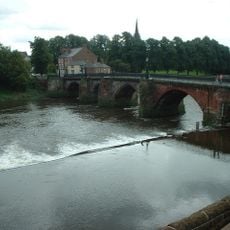
Chester Weir
399 m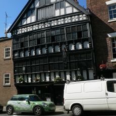
Bear and Billet
417 m
Chester Crown Court
429 m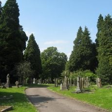
Overleigh Cemetery
443 m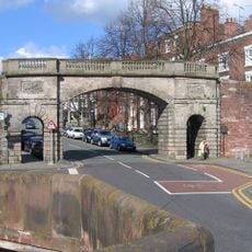
Bridgegate
402 m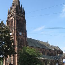
St Mary's Church, Handbridge
44 m
St. Mary's Centre, Chester
446 m
County Hall, Chester
389 m
Ye Olde Edgar
441 m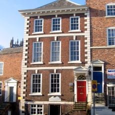
Shipgate House
451 m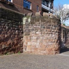
Unnamed drum tower 50 metres east of the Bridgegate
420 m
Bridge over drive, in north part of Overleigh Cemetery
418 m
3, Bridge Place
447 m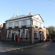
The Carlton Tavern
247 m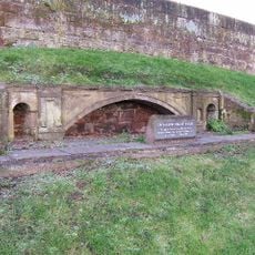
Model of the Grosvenor Bridge
412 m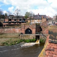
Pumping Station
379 m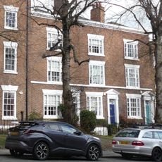
Number 7, 9 and 11 and railings to forecourt
429 m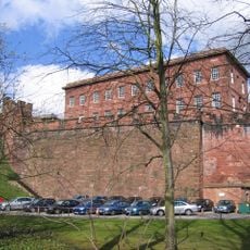
Curtain wall to south of inner bailey
384 m
1, Bridge Place
452 m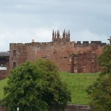
Curtain wall to west and south west of inner bailey, Chester Castle
430 m
Part of City Walls from Bridgegate to Drum Tower 50 Metres East
421 m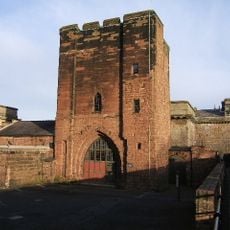
Agricola Tower
395 m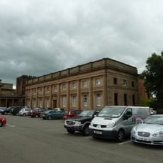
B Block
436 m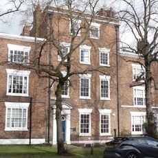
Number 5 and rear dwelling and attached wall
434 mVisited this place? Tap the stars to rate it and share your experience / photos with the community! Try now! You can cancel it anytime.
Discover hidden gems everywhere you go!
From secret cafés to breathtaking viewpoints, skip the crowded tourist spots and find places that match your style. Our app makes it easy with voice search, smart filtering, route optimization, and insider tips from travelers worldwide. Download now for the complete mobile experience.

A unique approach to discovering new places❞
— Le Figaro
All the places worth exploring❞
— France Info
A tailor-made excursion in just a few clicks❞
— 20 Minutes