Sundridge Hospital, hospital building in Sundridge with Ide Hill, Sevenoaks, Kent, UK
Location: Sundridge with Ide Hill
GPS coordinates: 51.26303,0.12307
Latest update: November 25, 2023 00:42

Emmetts Garden
1.3 km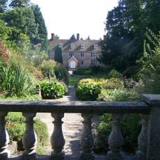
Great Comp Garden
1.3 km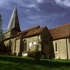
Church of St Mary
1.3 km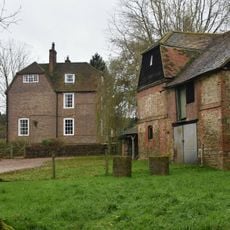
Brook Place Farmhouse
1.2 km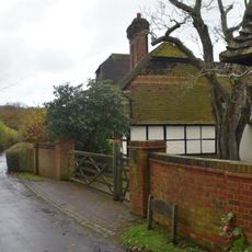
Little Norman Street Farmhouse
949 m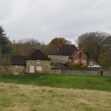
Sundridge Place
1.2 km
Brasted Place And Saxon Cross
1.4 km
Large Barn To South East Of Sundridge Place With Outbuildings Adjoining
1.2 km
Great Norman Street Farmhouse
1.1 km
Chapman's Farmhouse
1.3 km
Garden Walls To East And North Of Sundridge Place
1.3 km
Scenic viewpoint
1.3 km
Work of art, statue
1.3 km
The Red House
1.1 km
The White House
1.1 km
Lych Gate To West Of Church Of St Mary
1.3 km
Well Cottage
1.3 km
Rustic Stone Bridge In Woods To South East Of Brasted Place
1.3 km
The Phillippines
1.3 km
Stone Urns To South Of Brasted Place
1.4 km
94-98, Church Road
1.2 km
Birchfield Cottage
551 m
Scenic viewpoint
1.5 km
Scenic viewpoint
1.5 km
Scenic viewpoint
1.5 km
Wall To South Of The Manor House
1.5 km
The Manor House
1.6 km
Boundary Wall To West Of Grounds Of The Old Rectory
1.6 kmReviews
Visited this place? Tap the stars to rate it and share your experience / photos with the community! Try now! You can cancel it anytime.
Discover hidden gems everywhere you go!
From secret cafés to breathtaking viewpoints, skip the crowded tourist spots and find places that match your style. Our app makes it easy with voice search, smart filtering, route optimization, and insider tips from travelers worldwide. Download now for the complete mobile experience.

A unique approach to discovering new places❞
— Le Figaro
All the places worth exploring❞
— France Info
A tailor-made excursion in just a few clicks❞
— 20 Minutes