
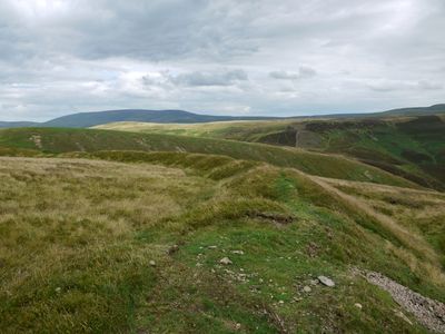
Blackbrough Hill, hillfort in Scottish Borders, Scotland, UK
Location: Scottish Borders
Location: Hownam
GPS coordinates: 55.45291,-2.30417
Latest update: March 3, 2025 00:25
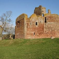
Cessford Castle
9.2 km
Windy Gyle
5.3 km
Chew Green
9.4 km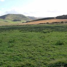
Pennymuir Roman camps
6.4 km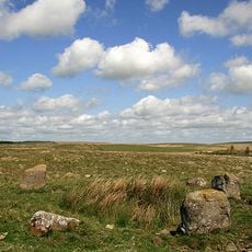
Five Stanes
5.7 km
Peniel Revival Centre, Halterburn
9.8 km
Manse, Main Street, Morebattle
8.1 km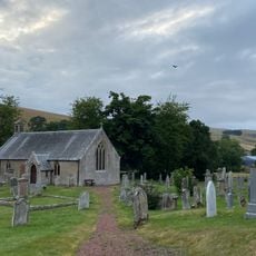
Hownam Church And Graveyard
3.5 km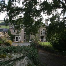
Town Yetholm, Morebattle Road, Romany House
10 km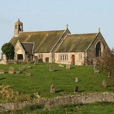
Linton Church And Churchyard
9.2 km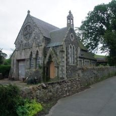
Morebattle, United Free Church
8 km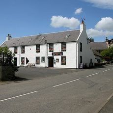
Templehall Hotel, Morebattle
8 km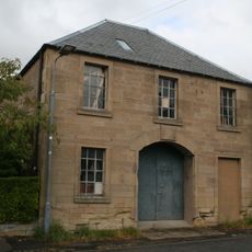
The Workshop, Montgomery Place, Town Yetholm
10.3 km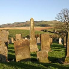
Morebattle, Parish Church Of St Lawrence, Graveyard
8.1 km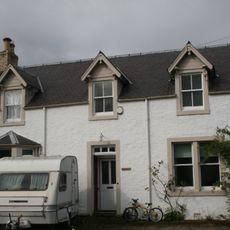
Lowriewell, High Street, Town Yetholm
10.1 km
The Law
9.1 km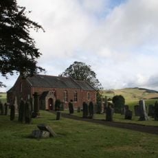
Morebattle, Parish Church Of St Lawrence
8.2 km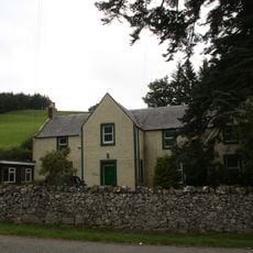
Halterburn
9.8 km
Hindhope Hill
7.6 km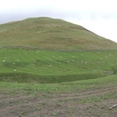
Heugh Law
8.7 km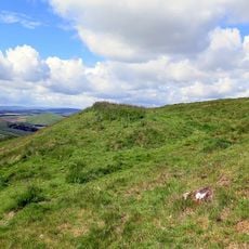
Cunzierton Hill
6.5 km
Lintalee, Main Street, Town Yetholm
10.2 km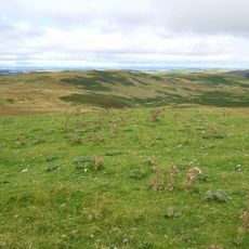
Loddan Hill
8.5 km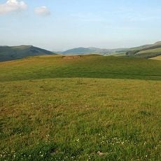
Morebattle Hill
7.4 km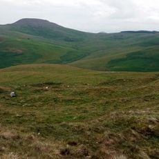
Hownam Rings
2.5 km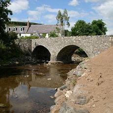
Primsidemill Bridge
8.8 km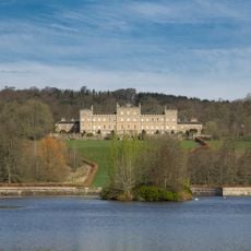
Woden Law
6.6 km
Chew Green Roman fort et al
9.4 kmReviews
Visited this place? Tap the stars to rate it and share your experience / photos with the community! Try now! You can cancel it anytime.
Discover hidden gems everywhere you go!
From secret cafés to breathtaking viewpoints, skip the crowded tourist spots and find places that match your style. Our app makes it easy with voice search, smart filtering, route optimization, and insider tips from travelers worldwide. Download now for the complete mobile experience.

A unique approach to discovering new places❞
— Le Figaro
All the places worth exploring❞
— France Info
A tailor-made excursion in just a few clicks❞
— 20 Minutes