Upper Tweeddale National Scenic Area, Protected area in Scottish Borders, United Kingdom
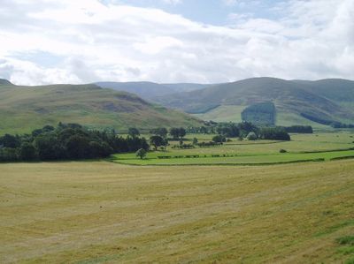
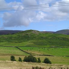
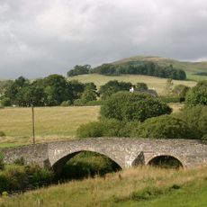
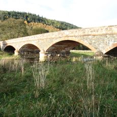
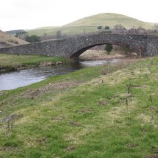
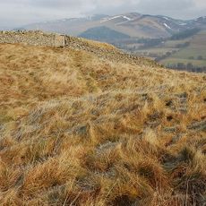
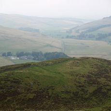
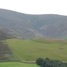
Upper Tweeddale is a protected natural area in the Scottish Borders that spreads across rolling hills, woodlands, and farmland around the River Tweed. The landscape consists of open river valleys alternating with wooded slopes, creating a patchwork of different environments and views.
The area gained official protection as a National Scenic Area in 1978, building on earlier landscape conservation efforts that began after World War II. This designation reflected growing recognition of the need to safeguard Scotland's most valued landscapes for future generations.
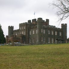
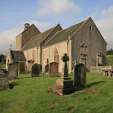
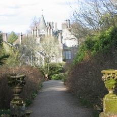
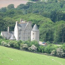
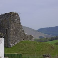
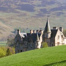
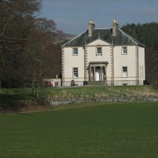
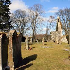
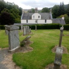
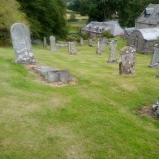
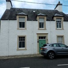
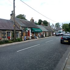
The valley has been shaped by farming families for generations, and you can see their influence in how the land is organized and used. Historic castles like Stobo, Neidpath, and Tinnis stand as reminders of medieval times and remain visible landmarks throughout the area.
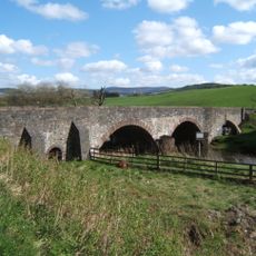
The John Buchan Way offers a well-marked walking route that connects two nearby towns and passes through the heart of the protected area. The terrain is relatively open and walkable, though wet conditions are common, so waterproof footwear is advised when visiting outside summer months.
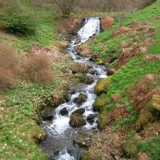
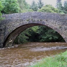
The River Tweed system here is home to salmon, lampreys, and otters that visitors sometimes spot along the water. These creatures thrive in the river's clean waters and indicate the health and quality of this aquatic environment.
The community of curious travelers
AroundUs brings together thousands of curated places, local tips, and hidden gems, enriched daily by 60,000 contributors worldwide.