
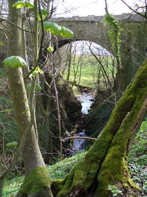
Benholm Bridge, road bridge in Aberdeenshire, Scotland, UK, now bypassed and unused, across Benholm Burn
Location: Aberdeenshire
Location: Benholm
GPS coordinates: 56.81145,-2.31636
Latest update: September 23, 2025 16:46
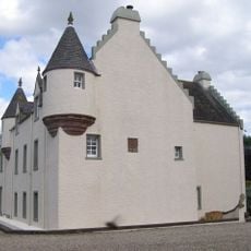
Monboddo House
10.8 km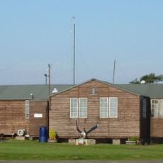
Montrose Air Station Heritage Centre
12.3 km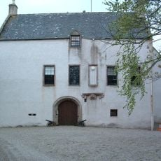
Allardice Castle
5.1 km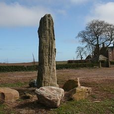
Stone of Morphie
11 km
Arbuthnott, Bervie & Kinneff Parish Church
4.3 km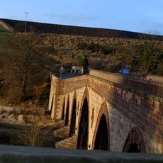
Lower North Water Bridge
10.7 km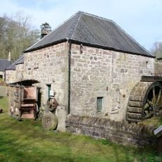
Benholm Mill
221 m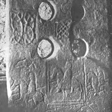
Fordoun Stone
12.5 km
Inverbervie Town House
4.3 km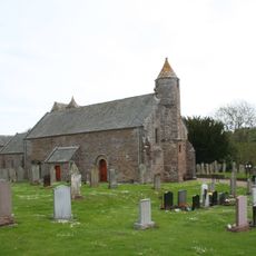
Arbuthnott Parish Church
5.8 km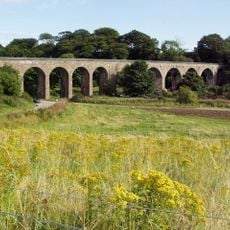
North Water Viaduct
10.6 km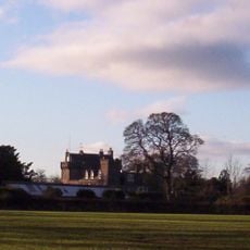
Thornton Castle
12.3 km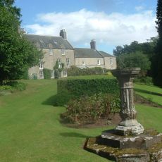
Arbuthnott House
6.3 km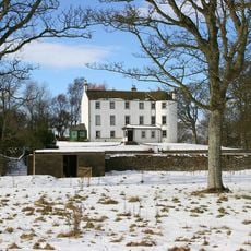
Kinnaber, House Of Kinnaber
10.9 km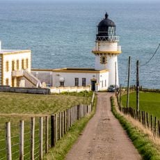
Todhead Lighthouse
10.1 km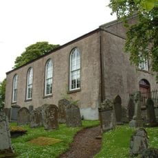
Benholm Parish Church And Churchyard
473 m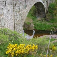
Old Bervie Bridge, Inverbervie
4.6 km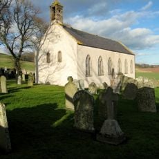
Kinneff, Kinneff Church
7.6 km
Auchenblae, St Palladius's Chapel
12.5 km
Auchenblae Parish Church
12.5 km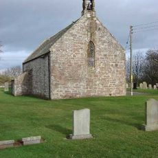
Garvock Parish Church And Graveyard
6.5 km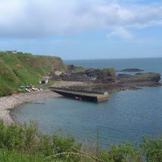
Catterline Harbour
11.2 km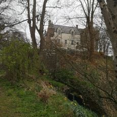
Inverbervie, Hallgreen Castle
4 km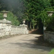
Arbuthnott House, North Bridge
6.3 km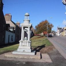
Bruce Fountain, High Street, Auchenblae
12.8 km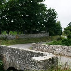
Catterline Bridge
11.3 km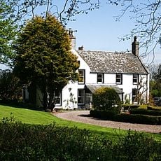
Kinneff, The Old Manse
7.6 km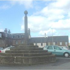
Inverbervie, Market Square, Market Cross
4.4 kmReviews
Visited this place? Tap the stars to rate it and share your experience / photos with the community! Try now! You can cancel it anytime.
Discover hidden gems everywhere you go!
From secret cafés to breathtaking viewpoints, skip the crowded tourist spots and find places that match your style. Our app makes it easy with voice search, smart filtering, route optimization, and insider tips from travelers worldwide. Download now for the complete mobile experience.

A unique approach to discovering new places❞
— Le Figaro
All the places worth exploring❞
— France Info
A tailor-made excursion in just a few clicks❞
— 20 Minutes