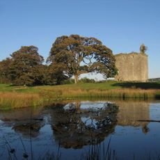
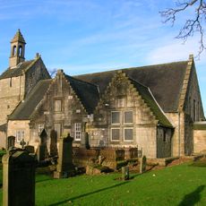
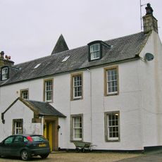
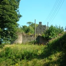
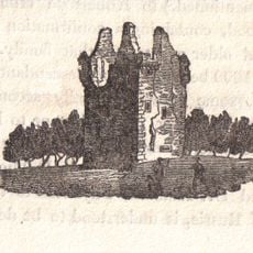
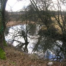
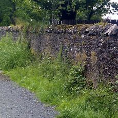
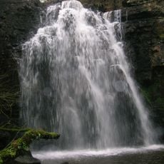
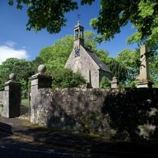
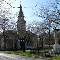
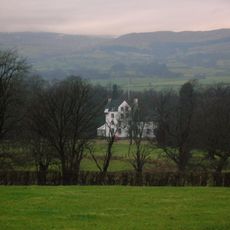
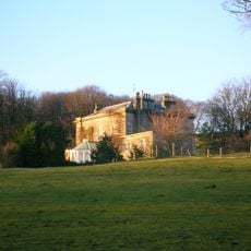
Dalry, Scottish parish in North Ayrshire
Location: North Ayrshire
Part of: Presbytery of Irvine
Shares border with: Beith, Kilwinning, Ardrossan, West Kilbride, Largs, Kilbirnie
GPS coordinates: 55.72822,-4.73307
Latest update: April 13, 2025 23:05
Cleeves Cove
5.3 km
Spier's School
7 km
Barr Castle
9 km
Dalgarven Mill Museum of Country Life and Costume
6 km
Glengarnock Castle
6.2 km
Barony and Castle of Kilbirnie
3.1 km
Monkcastle
5.1 km
Bellsdale Park
6.6 km
Kilbirnie Auld Kirk
3.6 km
Monkredding House
7.4 km
The Barony of Kersland
2.4 km
Valefield Park
3.7 km
The Lands of Roughwood
6.1 km
Spout of Garnock
9.2 km
Meikle Millbank Mill
7.9 km
Lands of Marshalland
6.9 km
St Brigid's Church, Kilbirnie
4 km
Clonbeith Castle
8.1 km
Lands of Sevenacres
8.4 km
Beith, Eglinton Street, Town House
6.7 km
Lands of Willowyard
5.4 km
Walker Memorial Hall, Kilbirnie
4.2 km
Lands of Morishill
6 km
Lynn Spout
3.2 km
St Winnock's Church
10.3 km
Lochwinnoch Parish Church
9.8 km
Woodside House
7.3 km
Ladyland House
7.2 kmReviews
Visited this place? Tap the stars to rate it and share your experience / photos with the community! Try now! You can cancel it anytime.
Discover hidden gems everywhere you go!
From secret cafés to breathtaking viewpoints, skip the crowded tourist spots and find places that match your style. Our app makes it easy with voice search, smart filtering, route optimization, and insider tips from travelers worldwide. Download now for the complete mobile experience.
A unique approach to discovering new places❞
— Le Figaro
All the places worth exploring❞
— France Info
A tailor-made excursion in just a few clicks❞
— 20 Minutes