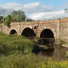
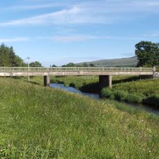
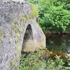
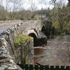
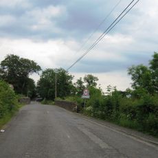
Port of Menteith, Scottish parish in Stirling, Scotland, UK
Location: Stirling
Part of: Presbytery of Dunblane
Shares border with: Kilmadock, Kincardine, Kippen, Drymen, Aberfoyle, Callander
GPS coordinates: 56.18389,-4.28500
Latest update: April 9, 2025 23:31
Ben Ledi
8.6 km
Gartmore House
6.6 km
Bicycle Tree (Trossachs)
7.2 km
Loch Drunkie
4.9 km
Cambusmore
8.3 km
Falls of Leny
7.5 km
Cunninghame Graham Memorial
7.1 km
Gartmore Parish Church, Main Street, Gartmore
7.5 km
Claish Farm, palisaded enclosures and timber hall 250m W of
7.4 km
Cardross House
4.3 km
Chapelarroch Farm Bridge
8.6 km
Callander, South Church Street, St Bride's Church
7.9 km
Achray Church
8.6 km
Callander, Bridge Street, River Teith, Callander Bridge
7.8 km
Callander, Roman Camp Hotel
7.8 km
Kippen, Bridge
10.1 km
Netherton Bridge
8.2 km
Bridge of Frew
10 km
Forth Bridge, Aberfoyle
6.3 km
Stuc Odhar
8.1 km
Kilmahog Bridge
7.3 km
Go Ape Aberfoyle
6.2 km
Burial Ground, Little Leny, Callendar
7.4 km
Cobleland Bridge
5.7 km
Ballochneck Bridge
7.4 km
Cobleland, pillbox 140m NE of
5.7 km
Forth Viaduct
5.2 km
Aberfoyle, David Marshal Lodge And Indicator
6.2 kmVisited this place? Tap the stars to rate it and share your experience / photos with the community! Try now! You can cancel it anytime.
Discover hidden gems everywhere you go!
From secret cafés to breathtaking viewpoints, skip the crowded tourist spots and find places that match your style. Our app makes it easy with voice search, smart filtering, route optimization, and insider tips from travelers worldwide. Download now for the complete mobile experience.
A unique approach to discovering new places❞
— Le Figaro
All the places worth exploring❞
— France Info
A tailor-made excursion in just a few clicks❞
— 20 Minutes