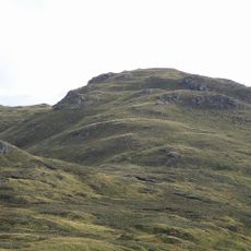
Falls of Leny, Waterfall system in The Trossachs, Scotland.
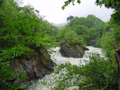
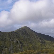
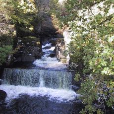
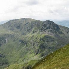
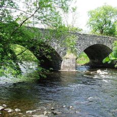
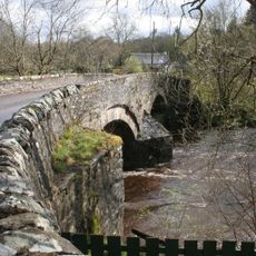
Falls of Leny consists of several cascades along the Garbh Uisge river flowing through the landscape between Ben Ledi and Meall Biorach mountains. The water tumbles down in a series of drops, creating strong rapids and splashing flows that can be viewed from multiple vantage points along the riverbank.
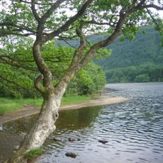
The name comes from the Scottish word 'lanaigh', which refers to the boggy meadows that have existed in this area for centuries. This connection to the land shows how early inhabitants understood and named the distinctive features of the valley.
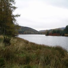
The Falls of Leny form part of Loch Lomond and The Trossachs National Park, representing Scottish natural heritage within protected territories.
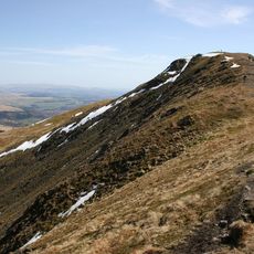
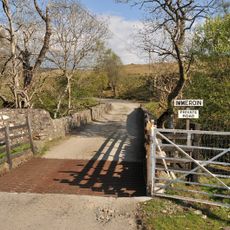
The falls can be reached from two parking areas: the Falls of Leny car park with a shorter walk or the Ben Ledi car park with a longer approach. The main parking route is relatively level and straightforward, while the Ben Ledi route involves a steeper climb through higher terrain.
A large moss-covered boulder sits in the middle of the river flow, causing the rushing water to split into intense white rapids around it. This formation creates a particularly dramatic display, especially when water levels are high after rain.
The community of curious travelers
AroundUs brings together thousands of curated places, local tips, and hidden gems, enriched daily by 60,000 contributors worldwide.