Trossachs, Woodland glen in Stirling, Scotland
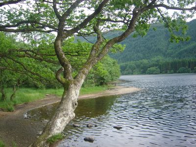
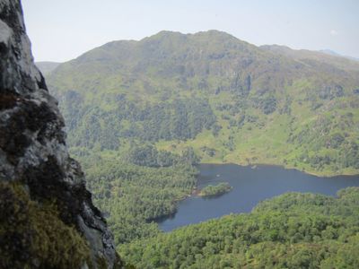
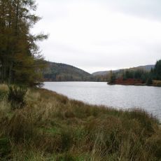
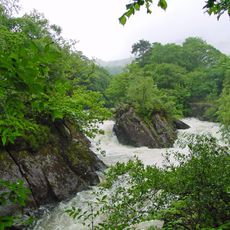
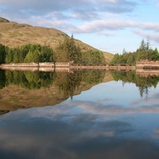
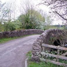
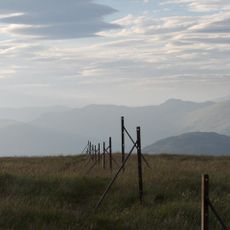
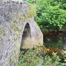
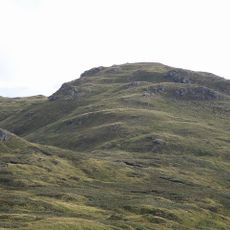
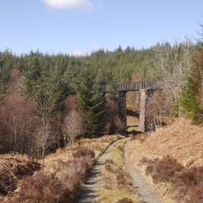
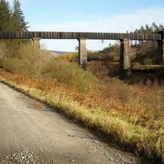
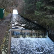
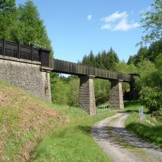
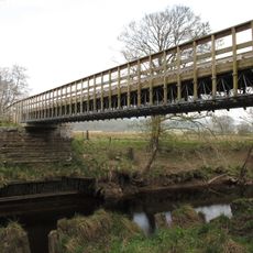
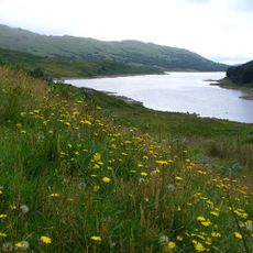
The Trossachs extend from Callander to Loch Katrine through forested glens, mountains, and several lochs in the eastern Scottish Highlands. The area forms a varied landscape with dense woodlands, open water, and mountain ridges.
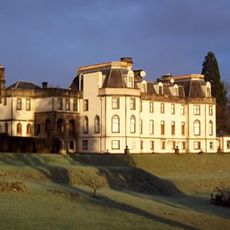
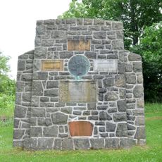
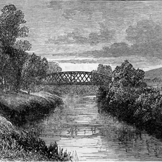
The region was shaped over time by its location near important routes and played a role in Scottish history. It gained wider attention only through literary works of the 19th century, becoming a draw for travelers.
Sir Walter Scott brought attention to this landscape through novels like The Lady of the Lake and Rob Roy in the 19th century. His stories transformed the region into a destination for readers and travelers worldwide.
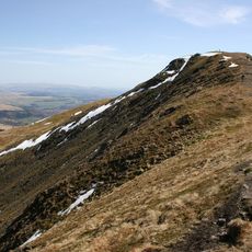
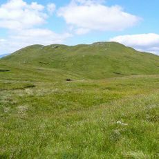
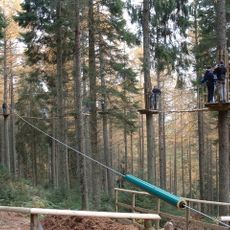
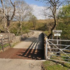
There are various walking routes and paths for different skill levels, from easy strolls to more challenging hikes. Many paths are well-marked, and it is wise to bring suitable gear for changeable weather conditions.
A steamship has operated on Loch Katrine since the late 19th century, connecting remote parts of this landscape to the village. This historic link has endured across generations and remains a distinctive feature of the area.
Location: Stirling
Location: Callander parish
GPS coordinates: 56.23056,-4.42111
Latest update: December 7, 2025 09:24
Ben Ledi
6.9 km
Gartmore House
9.7 km
Bicycle Tree (Trossachs)
3.4 km
Loch Drunkie
5 km
Falls of Leny
9.4 km
Cunninghame Graham Memorial
9.6 km
Loch Arklet
12.1 km
Benvane
7.7 km
Gartmore Parish Church, Main Street, Gartmore
9.9 km
Chapelarroch Farm Bridge
11.2 km
Achray Church
1.5 km
Bioran na Circe
7.6 km
Forth Bridge, Aberfoyle
6.3 km
Stuc Odhar
5.4 km
Go Ape Aberfoyle
5.8 km
Kilmahog Bridge
10.9 km
Cobleland Bridge
8.7 km
Couligarton Aqueduct Bridge No 3
8.3 km
Cobleland, pillbox 140m NE of
8.6 km
Forth Viaduct
9.8 km
Couligarton Aqueduct Bridge No 2
8.2 km
Stronachlachar, Loch Arklet To Loch Katrine Aqueduct Outlet, Weirs And Water Channel (former Glasgow Corporation Water Works)
10 km
Aberfoyle, David Marshal Lodge And Indicator
5.8 km
Bridge Near Ballimore Farm Over Calair Burn On Road To Immeroin, Glen Buckie
11 km
Altskeith
6.7 km
Castle Burn aqueduct bridge
8.5 km
Gartrenich Bridge
9.8 km
Glen Finglas Reservoir
3.4 kmVisited this place? Tap the stars to rate it and share your experience / photos with the community! Try now! You can cancel it anytime.
Discover hidden gems everywhere you go!
From secret cafés to breathtaking viewpoints, skip the crowded tourist spots and find places that match your style. Our app makes it easy with voice search, smart filtering, route optimization, and insider tips from travelers worldwide. Download now for the complete mobile experience.
A unique approach to discovering new places❞
— Le Figaro
All the places worth exploring❞
— France Info
A tailor-made excursion in just a few clicks❞
— 20 Minutes