Benvane, Summit in Stirling, Scotland.
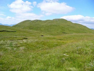
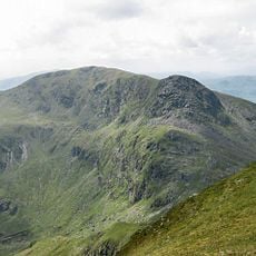
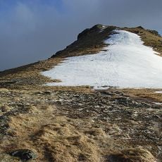
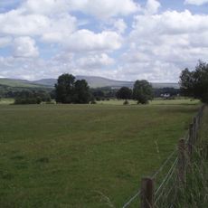
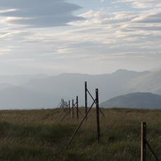
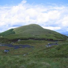
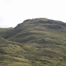
Benvane is a mountain summit reaching 821 meters above sea level in Stirling, connected by a ridge to Ben Ledi within Loch Lomond and The Trossachs National Park. The peak displays steep slopes and distinctive rocky outcrops that form its recognizable profile from surrounding areas.
The mountain was shaped by ancient geological processes that formed the Highlands millions of years ago and marks an old boundary between historical estates. These territorial divisions influenced settlement patterns and land use in the surrounding regions over centuries.
The name Benvane comes from Scottish Gaelic 'Beinn Bhàn', meaning 'White Mountain' in reference to how snow collects on its slopes. Visitors hiking the slopes notice this pale appearance especially during colder months when frost covers the rock faces.
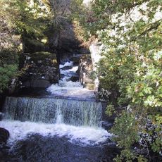
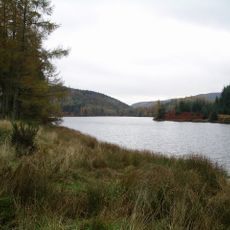
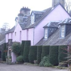
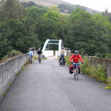
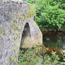
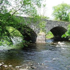
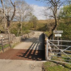
Hikers can reach the summit using different routes from Brig o' Turk, Stank Glen, or Strathyre, each offering varying difficulty levels. The choice of starting point depends on your fitness level and available time, with all trails passing through natural moorland and forest settings.
The peak has a prominence of approximately 215 meters, making it a noticeable landmark visible from many viewpoints across the landscape. This elevation difference allows it to stand out distinctly from its surroundings, despite not being the highest summit in the region.
The community of curious travelers
AroundUs brings together thousands of curated places, local tips, and hidden gems, enriched daily by 60,000 contributors worldwide.