
Carstairs, Scottish parish in South Lanarkshire, Scotland, UK
Location: South Lanarkshire
Part of: Presbytery of Lanark
Shares border with: Pettinain, Lanark, Carluke, Cambusnethan, West Calder, Carnwath
GPS coordinates: 55.72059,-3.71023
Latest update: April 18, 2025 00:22
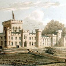
Lee Castle
7.6 km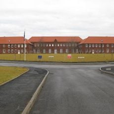
Winston Barracks
6.7 km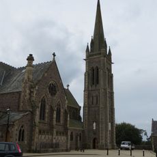
St Mary's Roman Catholic Church
6.7 km
Wilsontown Ironworks
6.9 km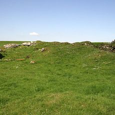
Cowthally Castle
4.5 km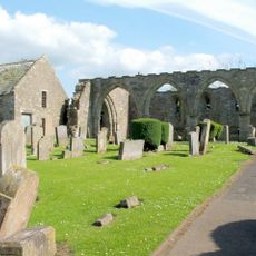
St Kentigern's Church
6.8 km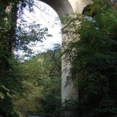
Cartland Bridge
7.2 km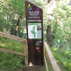
Cartland Craigs
6.7 km
St Nicholas Parish Church, Lanark
6.9 km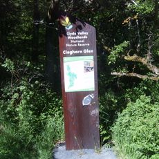
Cleghorn Glen
5.1 km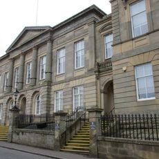
Lanark, 22-26 Hope Street, County Buildings
6.7 km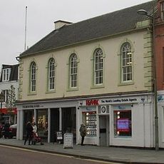
Lanark, 4 High Street
6.8 km
Broomgate drill hall, Lanark
7 km
Lindsay Institute
6.8 km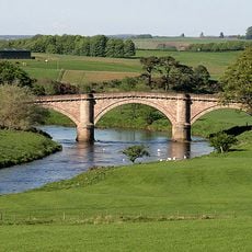
Hyndford Bridge
7.4 km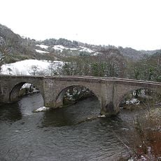
Clydesholm Bridge
7.6 km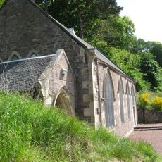
New Lanark, New Lanark Road, New Lanark Church
7.7 km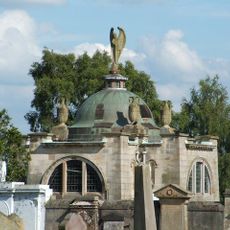
Lanark, Hyndford Road, Cemetery Chapel
6.8 km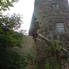
Carluke, Chapel Street, High Mill
8 km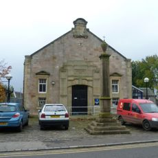
Carnwath, Main Street, Cross
5.8 km
Mousemill Old Bridge
7.3 km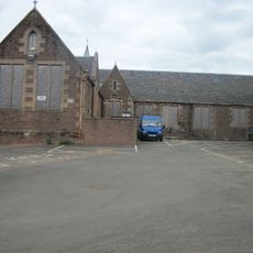
Lanark Grammar School, Hyndford Road building
6.8 km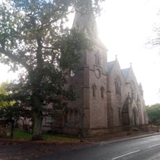
Carnwath, Main Street, Parish Church
5.4 km
Churchyard and burial aisles at St Kentigern’s Church
6.8 km
Carnwath Parish Church Hall
5.5 km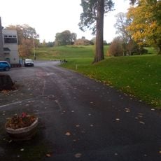
Carnwath Golf Course,motte
5.3 km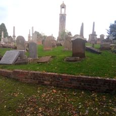
Carluke, St Luke's Church, Churchyard
8 km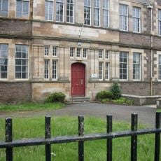
Lanark Grammar School, Albany Drive buildings
6.9 kmReviews
Visited this place? Tap the stars to rate it and share your experience / photos with the community! Try now! You can cancel it anytime.
Discover hidden gems everywhere you go!
From secret cafés to breathtaking viewpoints, skip the crowded tourist spots and find places that match your style. Our app makes it easy with voice search, smart filtering, route optimization, and insider tips from travelers worldwide. Download now for the complete mobile experience.

A unique approach to discovering new places❞
— Le Figaro
All the places worth exploring❞
— France Info
A tailor-made excursion in just a few clicks❞
— 20 Minutes