Cockburnspath, Scottish parish in Scottish Borders, Scotland, UK
Location: Scottish Borders
Part of: Presbytery of Dunbar
Shares border with: Coldingham, Abbey St Bathans, Oldhamstocks
GPS coordinates: 55.93289,-2.36019
Latest update: April 9, 2025 04:41
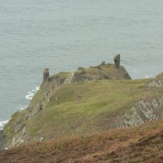
Fast Castle
8.5 km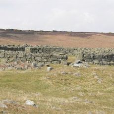
Edin's Hall Broch
10.8 km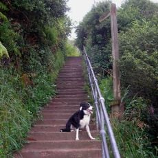
Berwickshire Coastal Path
7 m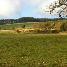
Bonkyll Castle
11.9 km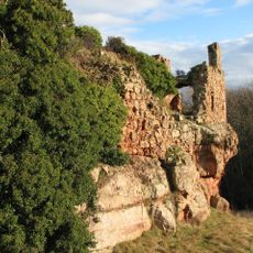
Innerwick Castle
4.8 km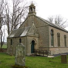
Bonkyl Kirk
12 km
Billie Castle
13.7 km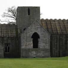
Dunglass Collegiate Church
1.2 km
Pease Dean
1.6 km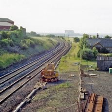
Cockburnspath railway station
540 m
Blackcastle Hill, East Lothian
6.3 km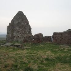
Old Cambus, St Helen's Church
2.8 km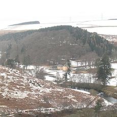
The Retreat
10.3 km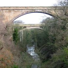
Dunglass Viaduct
1.1 km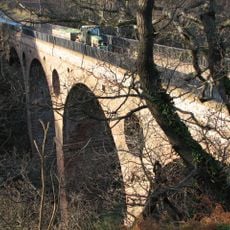
Pease Bridge
1.9 km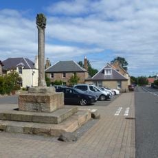
Cockburnspath, The Square, Market Cross
171 m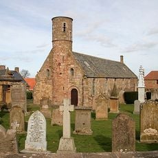
Cockburnspath Parish Church, Churchyard
192 m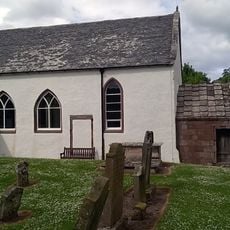
Oldhamstocks, Oldhamstocks Parish Church
3.8 km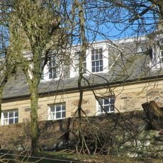
Renton House
7.5 km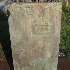
Women and Bairns, Cove
758 m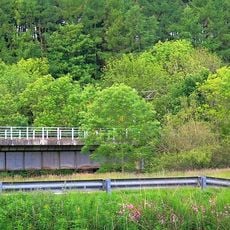
Brockholes Wood, North Viaduct
7.1 km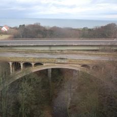
Dunglass Bridge
1.1 km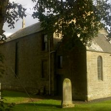
Bonkyl And Preston Parish Church, Churchyard
12 km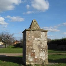
Oldhamstocks, Village Green, Pump
3.7 km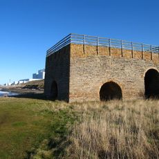
Skateraw Limekiln
5.7 km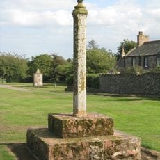
Oldhamstocks, Village Green, Market Cross
3.7 km
Bunkyl Manse, Kirkside House
12.1 km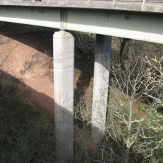
Dunglass bridge
1.2 kmVisited this place? Tap the stars to rate it and share your experience / photos with the community! Try now! You can cancel it anytime.
Discover hidden gems everywhere you go!
From secret cafés to breathtaking viewpoints, skip the crowded tourist spots and find places that match your style. Our app makes it easy with voice search, smart filtering, route optimization, and insider tips from travelers worldwide. Download now for the complete mobile experience.

A unique approach to discovering new places❞
— Le Figaro
All the places worth exploring❞
— France Info
A tailor-made excursion in just a few clicks❞
— 20 Minutes