West Linton, Scottish parish in Scottish Borders, Scotland, UK
Location: Scottish Borders
Part of: Presbytery of Peebles
Shares border with: Penicuik, Newlands, Kirkurd, Dolphinton, Dunsyre, West Calder, Mid Calder, Currie
GPS coordinates: 55.75261,-3.35539
Latest update: March 7, 2025 12:49
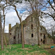
Drochil Castle
8.4 km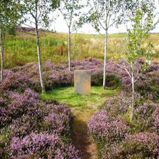
Little Sparta
10.1 km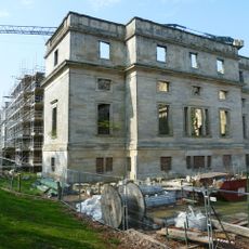
Penicuik House
9.9 km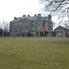
Castle Craig Hospital
7.7 km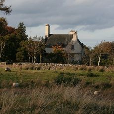
Bavelaw Castle
11.1 km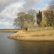
Cairns Castle
10.5 km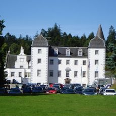
Black Barony
9.7 km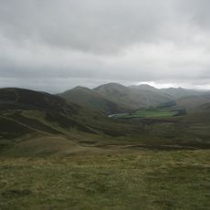
Pentland Hills
4.1 km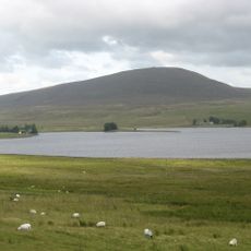
Harperrig Reservoir
10.7 km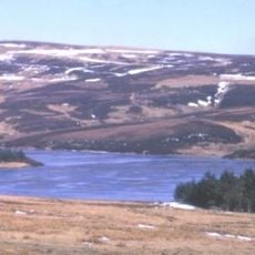
Baddinsgill Reservoir
4.5 km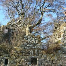
Brunstane Castle
8.2 km
West Water Reservoir
3.3 km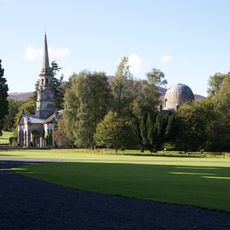
Penicuik, Penicuik House, Stables
10 km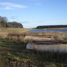
Crosswood Reservoir
10.6 km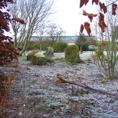
Old Harestanes,stone circle 180m NE of
8 km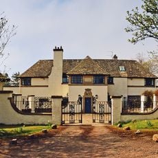
West Linton, The Loan, Srongarbh
724 m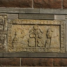
Gifford's Stone
54 m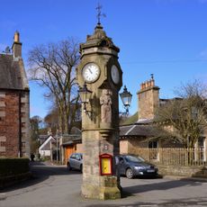
West Linton, Main Street, Public Well And Clock Tower
95 m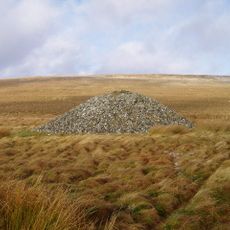
North Muir,Nether Cairn
4.7 km
Romanno Bridge
4 km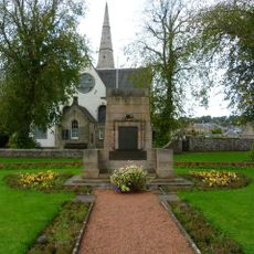
War Memorial, Main Street, West Linton
279 m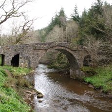
Penicuik, Penicuik House, River North Esk, Bridge
9.9 km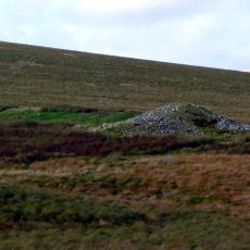
North Muir,Upper Cairn
4.1 km
Netherurd Home Farm, Stables
7.8 km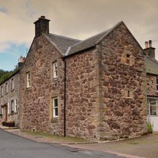
Old Manor House, Main Street, West Linton
129 m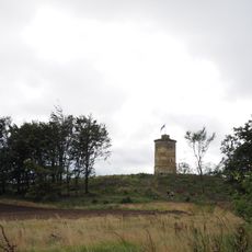
Penicuik House, Tower
10.4 km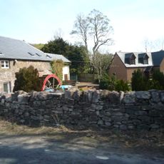
Blyth Mill
6.8 km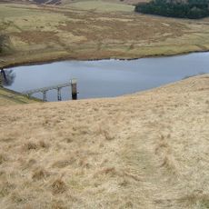
North Esk Reservoir
6.2 kmVisited this place? Tap the stars to rate it and share your experience / photos with the community! Try now! You can cancel it anytime.
Discover hidden gems everywhere you go!
From secret cafés to breathtaking viewpoints, skip the crowded tourist spots and find places that match your style. Our app makes it easy with voice search, smart filtering, route optimization, and insider tips from travelers worldwide. Download now for the complete mobile experience.

A unique approach to discovering new places❞
— Le Figaro
All the places worth exploring❞
— France Info
A tailor-made excursion in just a few clicks❞
— 20 Minutes