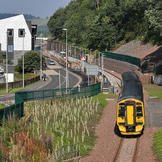
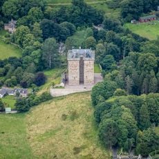
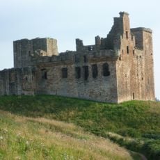
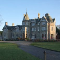
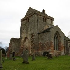
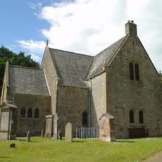
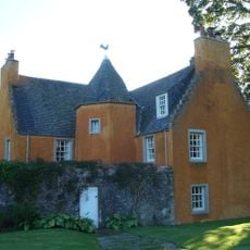
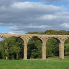
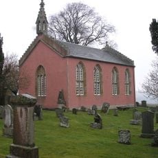
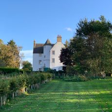
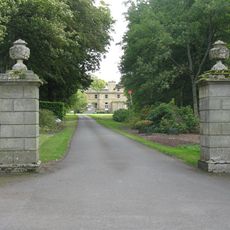
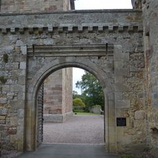
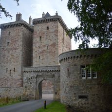
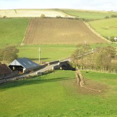
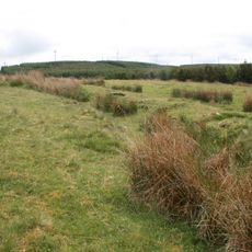
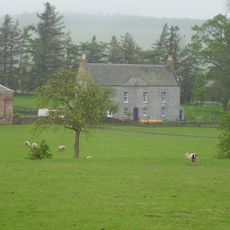
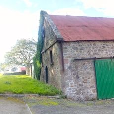
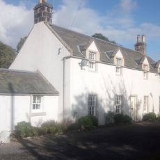
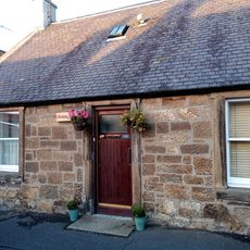
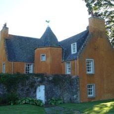
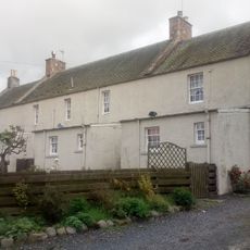
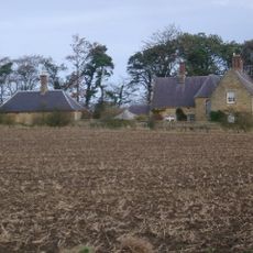
Fala and Soutra, Scottish parish
Location: Midlothian
Location: Scottish Borders
Part of: Presbytery of Dalkeith
Shares border with: Humbie, Channelkirk, Stow, Heriot, Crichton
GPS coordinates: 55.83333,-2.88331
Latest update: March 11, 2025 13:07
Borders Railway
7.3 km
Glenkinchie distillery
6.5 km
Borthwick Castle
8.3 km
Crichton Castle
6.8 km
Oxenfoord Castle
7.9 km
Soutra Aisle
2 km
Keith Marischal
4.1 km
Vogrie Country Park
7.3 km
Vogrie House
7.3 km
Crichton Collegiate Church
6.8 km
Humbie Parish Church
3.6 km
Ford House
7.1 km
Lothian Bridge
7 km
Channelkirk Church
6.8 km
Crichton House
5.2 km
Whitburgh House
3.8 km
Borthwick Castle, Gateway
7.8 km
Borthwick Castle, Gatehouse
7.8 km
Fala Manse
1.1 km
Bridge Over Gore Water, Borthwick
8.1 km
Dere Street,Roman road,Soutra to Channelkirk (part)
3.7 km
Justicehall House
8.4 km
Fala, Blackshiels
1.2 km
Fala, Cottage No. 31
1.1 km
159 Main Street, Pathhead
6.2 km
Ford House, Walled Garden
7.1 km
Crichton, Crichton Mains
6.2 km
Preston Dene
6.7 kmReviews
Visited this place? Tap the stars to rate it and share your experience / photos with the community! Try now! You can cancel it anytime.
Discover hidden gems everywhere you go!
From secret cafés to breathtaking viewpoints, skip the crowded tourist spots and find places that match your style. Our app makes it easy with voice search, smart filtering, route optimization, and insider tips from travelers worldwide. Download now for the complete mobile experience.
A unique approach to discovering new places❞
— Le Figaro
All the places worth exploring❞
— France Info
A tailor-made excursion in just a few clicks❞
— 20 Minutes