
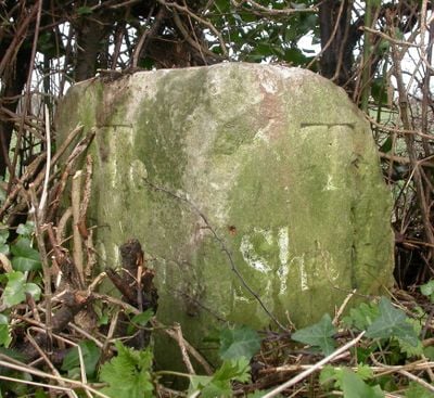
Milestone, 110m W of eastermost lane to village, milestone in Swallowcliffe, Salisbury, UK
Location: Salisbury District
Inception: 19 century
GPS coordinates: 51.04385,-2.03645
Latest update: March 9, 2025 11:00
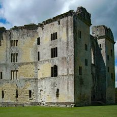
Old Wardour Castle
3.8 km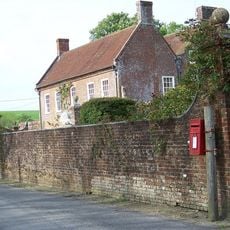
Alvediston Manor
3.7 km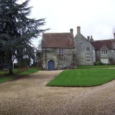
Place Farmhouse
3.6 km
Norrington Manor
3.5 km
Castle Ditches
1.7 km
Gallows Hill SSSI, Wiltshire
3.6 km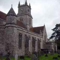
Church of St John the Baptist, Tisbury
3.7 km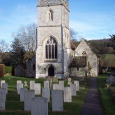
Church of St George
3.2 km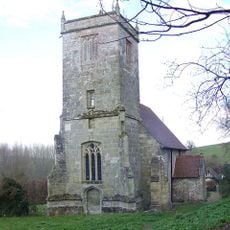
Church of St John the Baptist
3.4 km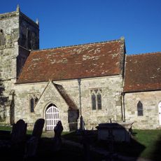
Church of All Saints
2 km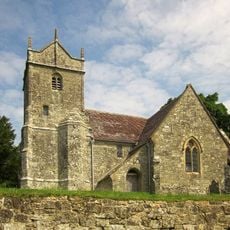
Church of St Mary
3.2 km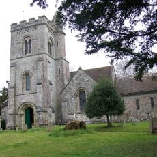
Church of St Peter
1.2 km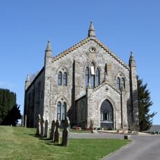
Zion Hill Chapel
3.8 km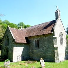
Church of St James
2.1 km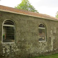
Congregational Chapel
3.3 km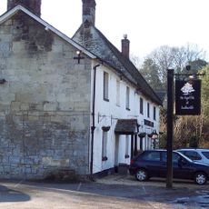
The Royal Oak
1.1 km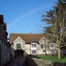
The Crown Inn
3.8 km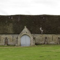
Tithe Barn at Place Farm
3.6 km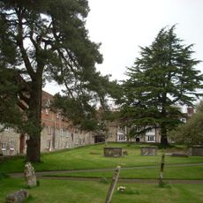
Turner And Two Rogers Monuments, In The Churchyard, Between 10 And 13 Metres North West Of Church Of St John The Baptist
3.7 km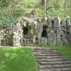
Grotto To North East Of Old Wardour Castle
3.7 km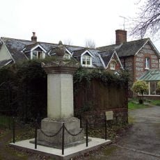
Ebbesbourne Wake War Memorial
3.4 km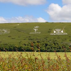
Two chalk military badges 380m and 550m west of Sheep Well
855 m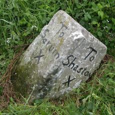
Milestone About 150 Metres West Of West Farm
3.1 km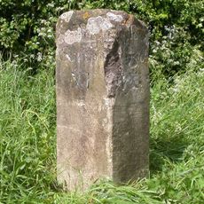
Milestone Approximately 200 Metres East Of Manor Farm
1.6 km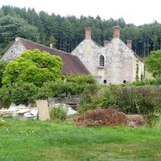
Old Wardour House
3.8 km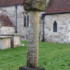
Churchyard Sundial About 10 Metres South Of Chancel Of Church Of All Saints
2 km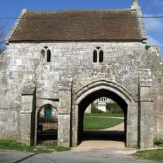
Outer Gatehouse At Place Farm
3.6 km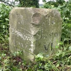
Milestone About 250 Metres To South West Of New Barn Lodge
3.1 kmReviews
Visited this place? Tap the stars to rate it and share your experience / photos with the community! Try now! You can cancel it anytime.
Discover hidden gems everywhere you go!
From secret cafés to breathtaking viewpoints, skip the crowded tourist spots and find places that match your style. Our app makes it easy with voice search, smart filtering, route optimization, and insider tips from travelers worldwide. Download now for the complete mobile experience.

A unique approach to discovering new places❞
— Le Figaro
All the places worth exploring❞
— France Info
A tailor-made excursion in just a few clicks❞
— 20 Minutes