
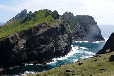
St Kilda, Geo Chrubaidh, settlement
St Kilda, Geo Chrubaidh, settlement, architectural structure in Outer Hebrides, Scotland, UK
Location: Outer Hebrides
Location: Harris
GPS coordinates: 57.82170,-8.60797
Latest update: April 7, 2025 09:57
Flannan Isles Lighthouse
79.4 km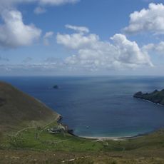
St Kilda
1.4 km
Boreray
8.8 km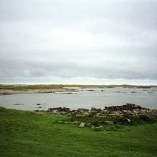
Ceann Ear
67.9 km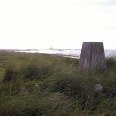
Ceann Iar
65.9 km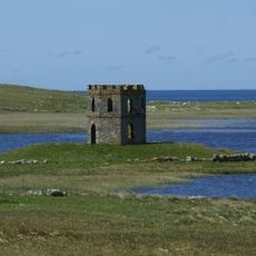
Scolpaig Tower
69.7 km
Stac Biorach
1.1 km
Sibhinis
65.9 km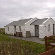
Balranald RSPB reserve
69.8 km
Old Monach Lighthouse
63.5 km
Baleshare Causeway
81.2 km
Struan Cottage
76 km
Bac Mic Connain
72.9 km
Nunton Church
82.8 km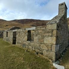
St Kilda World Heritage Site
2.5 km
North Uist, Trumisgarry Church
82.6 km
North Uist, Claddach-kyles, Westford Inn
77.3 km
Paible Free Church, North Uist
73.2 km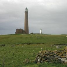
New Monach Light
63.5 km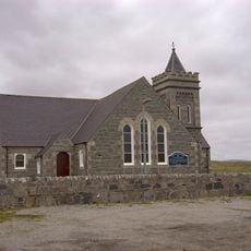
Balranald Church, North Uist
71.2 km
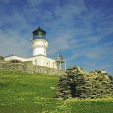
Haskeir Lighthouse
56.3 km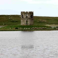
Dun Scolpaig, dun (site of) and tower
69.7 km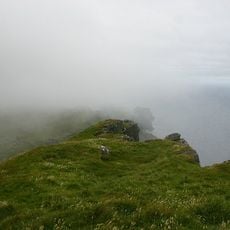
Mullach Bi
845 m
North Uist, Caisteal Odair
69.2 km
Eilean Domhnuill,settlement,Loch Olabhat
71.1 km
Cille-Pheadair,cross 800m N of Balmartin
69.5 km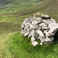
St Kilda, Gleann Mor, settlement
739 m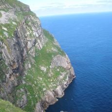
Sgeir Dhomhuill
2.6 kmVisited this place? Tap the stars to rate it and share your experience / photos with the community! Try now! You can cancel it anytime.
Discover hidden gems everywhere you go!
From secret cafés to breathtaking viewpoints, skip the crowded tourist spots and find places that match your style. Our app makes it easy with voice search, smart filtering, route optimization, and insider tips from travelers worldwide. Download now for the complete mobile experience.

A unique approach to discovering new places❞
— Le Figaro
All the places worth exploring❞
— France Info
A tailor-made excursion in just a few clicks❞
— 20 Minutes