
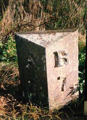
Milepost, Brownieside, milepost in Eglingham, Alnwick, UK
Location: Alnwick District
Inception: 19 century
GPS coordinates: 55.50768,-1.73949
Latest update: March 12, 2025 03:11
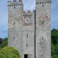
Preston Tower
2.4 km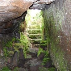
Cateran Hole
6.2 km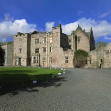
Rock Hall
5 km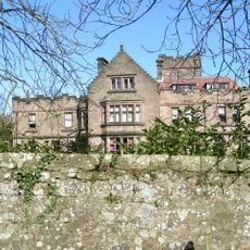
Ellingham Hall, Northumberland
2.3 km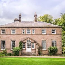
Charlton Hall
2 km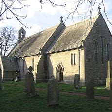
Church of St James
3.6 km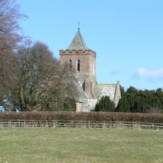
Church of St Maurice
2.1 km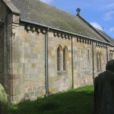
Church of Saints Philip and James
5.1 km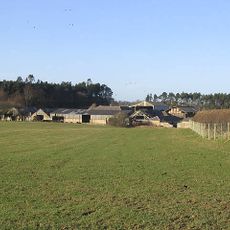
Doxford Farmhouse
1.6 km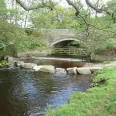
Shipley Bridge Over The Shipley Burn
6.2 km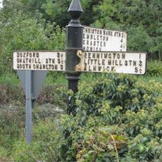
Signpost At Road Junction South Of Rock Farm
5.4 km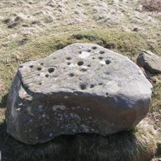
Cup and ring marked rocks on Wandylaw Moor, 1km west of Wandylaw
3 km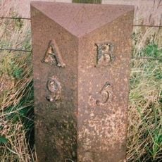
Milepost Circa 200 Yards South Of Newstead Road End
3.1 km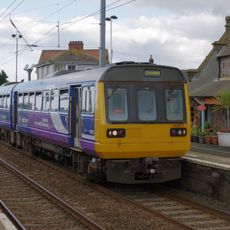
Waiting Shed And Up Platform At Chathill Station
3.8 km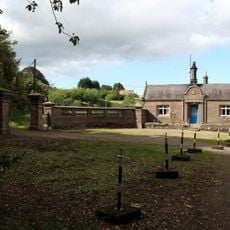
South Lodge And Gateway To Preston Tower
2.6 km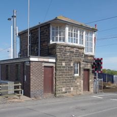
Signal Box At Chathill Station
3.8 km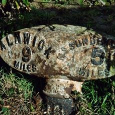
Milepost 100 Metres South Of Newtonbarns
5.9 km
Twizell North Lodge
6.3 km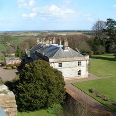
Preston Tower (New)
2.5 km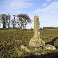
Cross On North Side Of B6347 120 Metres West Of A1 Junction
874 m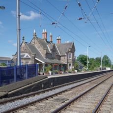
Chathill Station And Down Platform
3.8 km
Mile Post 700 Metres North Of Prickly Bridge
5.2 km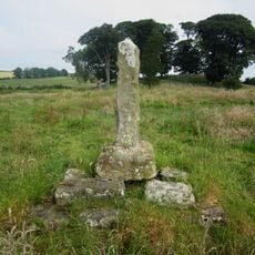
North Charlton medieval village and open field system
1.1 km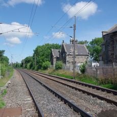
Former Goods Shed On East Of Railway Immediately North Of B 1340
4.8 km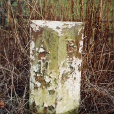
Milepost Circa 100 Yard South East Of Twizell North Lodge
6.2 km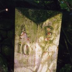
Milepost, Rayheugh in loop of old road
4.7 km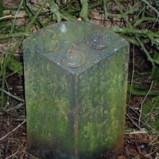
Milepost, Warenford
5.7 km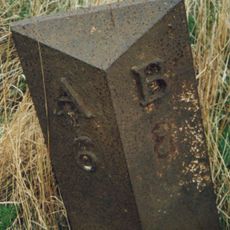
Milepost, North Charlton, just before dual carriageway, north of Shipperton Bridge
1.6 kmReviews
Visited this place? Tap the stars to rate it and share your experience / photos with the community! Try now! You can cancel it anytime.
Discover hidden gems everywhere you go!
From secret cafés to breathtaking viewpoints, skip the crowded tourist spots and find places that match your style. Our app makes it easy with voice search, smart filtering, route optimization, and insider tips from travelers worldwide. Download now for the complete mobile experience.

A unique approach to discovering new places❞
— Le Figaro
All the places worth exploring❞
— France Info
A tailor-made excursion in just a few clicks❞
— 20 Minutes