
Scenic viewpoint
Location: Robertville
Location: Waimes
GPS coordinates: 50.51142,6.12023
Latest update: October 24, 2025 17:19
Signal de Botrange
2.2 km
Baraque Michel
4.2 km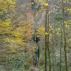
Waterfall of Reinhardstein
6.6 km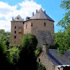
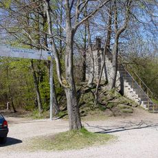
Reinhardstein Castle
6.7 km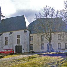
Reichenstein Monastery
6.5 km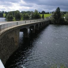
Lake Robertville
6.9 km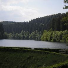
Perlenbachtalsperre
8.9 km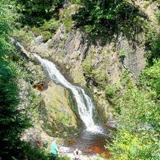
Cascade du Bayehon
4.4 km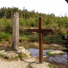
Croix des Fiancés
5.4 km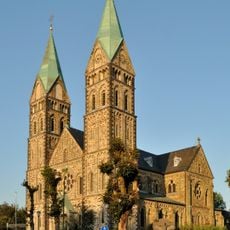
St. Lambertus
7.2 km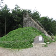
Butte Baltia
2.2 km
Haus Ternell
8.2 km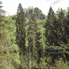
Oberes Rurtal mit den Felsbildungen der Ehrensteinley
6.9 km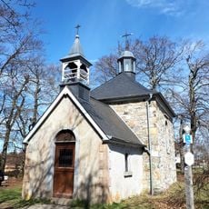
Fischbach chapel of Malmedy
4.1 km
Hautes-Fagnes
2.5 km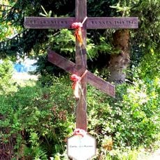
Russian prisonners camp in Bosfagne
2.2 km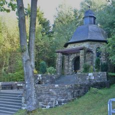
Norbertuskapelle
6.3 km
Tank memorial
6.2 km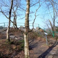
Unteres Perlenbachtal mit den Felsbildungen der Teufelsley, Engelsley, Bromelsley und Pferdeley
8.7 km
Vennhochfläche bei Mützenich
8.5 km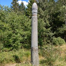
Le Boultè
4 km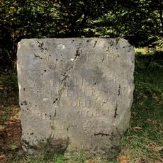
Base de la colonne Hauptmann
2.2 km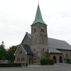
Kirche Sankt Michael
9 km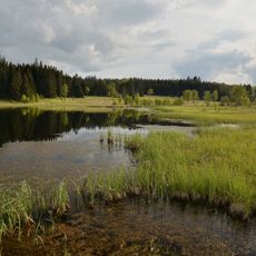
Parc naturel Hautes Fagnes-Eifel
2.5 km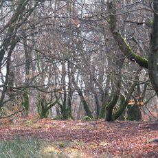
Hohe Mark
9 km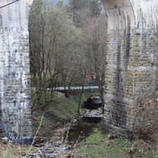
Kirmessief
6.6 km
Vennhochfläche bei Mützenich
8.7 km
Église Saint-Joseph
6.4 kmReviews
Visited this place? Tap the stars to rate it and share your experience / photos with the community! Try now! You can cancel it anytime.
Discover hidden gems everywhere you go!
From secret cafés to breathtaking viewpoints, skip the crowded tourist spots and find places that match your style. Our app makes it easy with voice search, smart filtering, route optimization, and insider tips from travelers worldwide. Download now for the complete mobile experience.

A unique approach to discovering new places❞
— Le Figaro
All the places worth exploring❞
— France Info
A tailor-made excursion in just a few clicks❞
— 20 Minutes