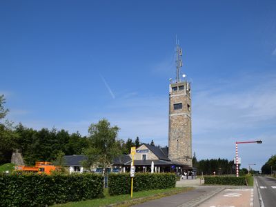
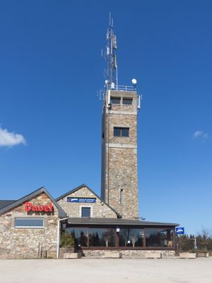
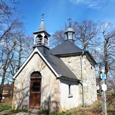
Signal de Botrange, Mountain summit in Province of Liege, Belgium
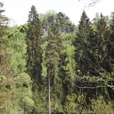
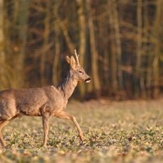
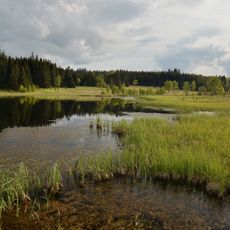
Signal de Botrange is a summit in the High Fens region of Liege Province that rises 694 meters above sea level. The landscape around it combines open grasslands, boggy areas, and forests that create varied terrain across the slopes.
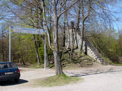
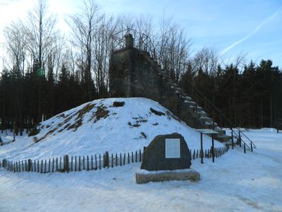
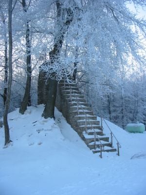
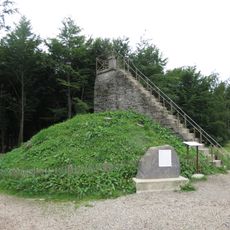
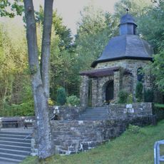
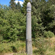
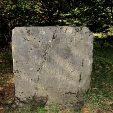
In 1923, the Belgian government built a six-meter tower at the summit to raise its elevation to exactly 700 meters above sea level. This artificial extension made it Belgium's highest point.
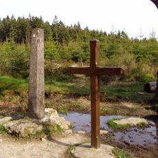
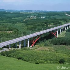
The summit marks a linguistic border between Romance and Germanic languages, with sources of several rivers flowing into the Mosan basin.
Visitors can reach the summit via marked trails starting from the Baraque Michel parking area, which takes around three hours to hike. Walking is most enjoyable in dry conditions, as the boggy terrain becomes slippery after rain.
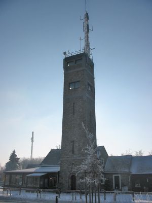
A meteorological station operated on the summit for decades, recording temperatures that dropped to minus 25.6 degrees Celsius. The station was later moved to Mount Rigi, having captured the harsh climate of this elevation.
The community of curious travelers
AroundUs brings together thousands of curated places, local tips, and hidden gems, enriched daily by 60,000 contributors worldwide.