
Table d'Orientation du Laid Prangeleux
Location: Marcourt
Location: Rendeux
GPS coordinates: 50.23234,5.58282
Latest update: October 24, 2025 17:19
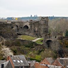
Castle of La Roche-en-Ardenne
5.6 km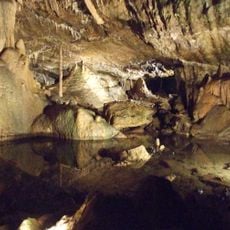
Caves of Hotton
9.5 km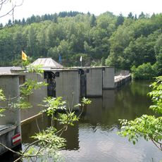
Lake Nisramont
11.5 km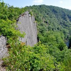
Le Hérou
10.3 km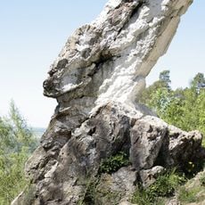
Pierre haina
11.6 km
Hermitage and chapel of Saint-Thibaut
5.3 km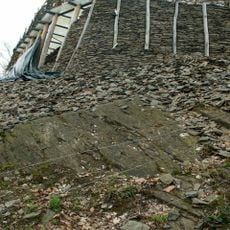
Le Cheslé
8.9 km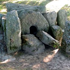
Dolmen of Oppagne
11.1 km
Parc Chlorophylle
1.4 km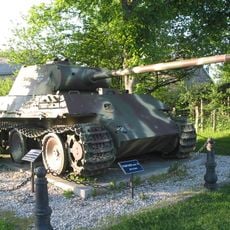
Tank memorial
8.5 km
Tank memorial M4A1 Sherman
5.5 km
Menhirs of Oppagne
10.8 km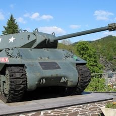
Tank memorial 17pdr SP Achilles
5.4 km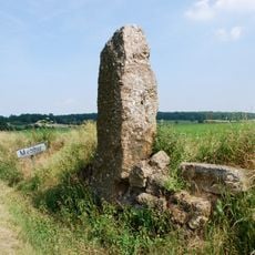
The Danthine menhir
11.3 km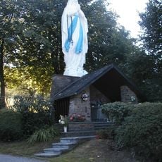
Virgin of Werpin
7.3 km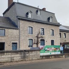
Riveo
10.4 km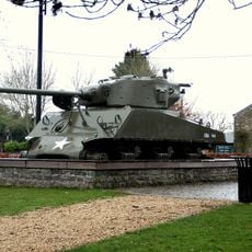
Tank memorial
4.5 km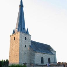
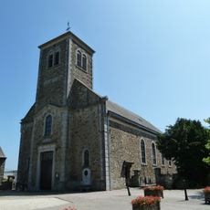
St. Peter's Church, Melreux
11.5 km
Castle farmhouse of Fisenne
7.4 km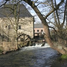
Faber Mill
10.1 km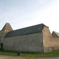
Castle of Ny
9.4 km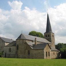
Église Sainte-Walburge
11.1 km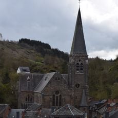
Église Saint-Nicolas
5.6 km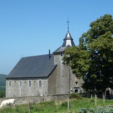
Saint Remigius chapel
7.5 km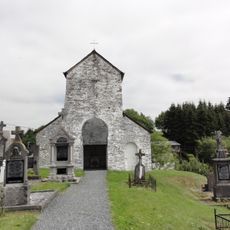
St. Marguerite chapel of Ollomont
10.9 km
Sint-Laurentiuskerk
6.8 km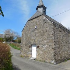
Chapelle Saint-Monon d'Hubermont
10.6 kmReviews
Visited this place? Tap the stars to rate it and share your experience / photos with the community! Try now! You can cancel it anytime.
Discover hidden gems everywhere you go!
From secret cafés to breathtaking viewpoints, skip the crowded tourist spots and find places that match your style. Our app makes it easy with voice search, smart filtering, route optimization, and insider tips from travelers worldwide. Download now for the complete mobile experience.

A unique approach to discovering new places❞
— Le Figaro
All the places worth exploring❞
— France Info
A tailor-made excursion in just a few clicks❞
— 20 Minutes