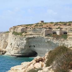
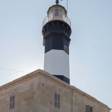
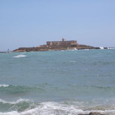
Mediterranean Basin, Drainage basin across Southern Europe, North Africa, and Western Asia.
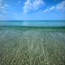
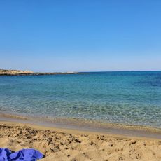
The Mediterranean Basin is a network of rivers and streams flowing from three continents toward the Mediterranean Sea. It covers different landscapes, from mountains to coastal plains, and collects water from several major river valleys that feed various coastal regions.
Around 5.9 million years ago, the water level dropped dramatically during the Messinian salinity crisis, until a flood restored it. This geological shift shaped the current form of the drainage area and influenced the formation of river courses.
The river system shaped farming and trade along its banks for centuries, creating irrigation methods still visible in many villages today. Local communities continue to use the waterways as natural boundaries and as a source for traditional growing methods adapted to the climate.
Anyone exploring the river landscapes should expect varying water levels depending on the season, as some sections drop significantly in summer. Trails along the banks are often easier to reach when the weather is dry and the ground becomes firmer.
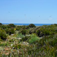
Within the drainage area, there are several closed sub-basins where water remains in inland lakes instead of reaching the sea. These isolated systems create their own microclimates and host species that evolved separately.
The community of curious travelers
AroundUs brings together thousands of curated places, local tips, and hidden gems, enriched daily by 60,000 contributors worldwide.