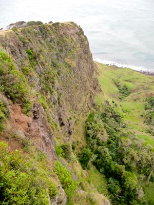
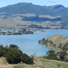
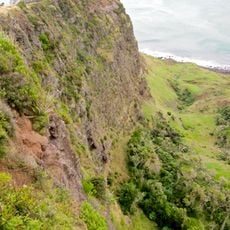
Te Toto Gorge Lookout, Coastal viewpoint on Whaanga Road, Waikato District, New Zealand.
Te Toto Gorge Lookout is a scenic viewpoint perched above steep coastal cliffs where the Tasman Sea meets rocky shores in Waikato District. From this vantage point, you see the dramatic collision of water and land, with forest-covered slopes dropping away sharply beneath you.
Māori communities cultivated this area for generations, with evidence pointing to settlement and farming from around the 1700s onward. The gorge itself formed through natural geological processes long before human habitation, shaping the landscape that people later adapted for their use.
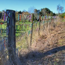
The name Te Toto refers to water in the Māori language, connecting the place to its coastal setting. Walking through the area, you notice terraced slopes and stone arrangements that show how people once shaped this land for living and growing food.
You reach the lookout by walking a short distance from a gravel parking area on the roadside. The location also works as a starting point for other walking tracks in the region, so it fits well into a longer exploration of the area.
The gorge was shaped by ice-age erosion, creating natural sheltered pockets where early inhabitants later established their gardens. This blend of natural geology and human adaptation makes the place particularly interesting.
The community of curious travelers
AroundUs brings together thousands of curated places, local tips, and hidden gems, enriched daily by 60,000 contributors worldwide.